
Vathylakkos, Drama
This article needs additional citations for verification. (September 2023) |
Vathylakkos
Βαθύλακκος | |
|---|---|
Settlement | |
 Vathylakkos | |
 Vathylakkos Location within the region  | |
| Coordinates: 41°13′55″N 24°09′54″E / 41.232°N 24.165°E | |
| Country | Greece |
| Administrative region | East Macedonia and Thrace |
| Regional unit | Drama |
| Municipality | Drama |
| Municipal unit | Drama |
| Community | Monastiraki |
| Elevation | 500 m (1,600 ft) |
| Population (2021)[1] | |
| • Total | 42 |
| Time zone | UTC+2 (EET) |
| • Summer (DST) | UTC+3 (EEST) |
Vathylakkos (Greek: Βαθύλακκος (meaning "deep ditch"), Bulgarian: Ко̀вица, Ко̀вища, Turkish: Kovitsa) is a village in the Drama regional unit, Eastern Macedonia and Thrace region, northern Greece. It was formerly known as Kovitsa[2] (Greek: Κόβιτσα) until 1927. Its population is 42 (2021).[1]
The village is part of the community of Monastiraki within the municipality of Drama.[3]
Geography[edit]
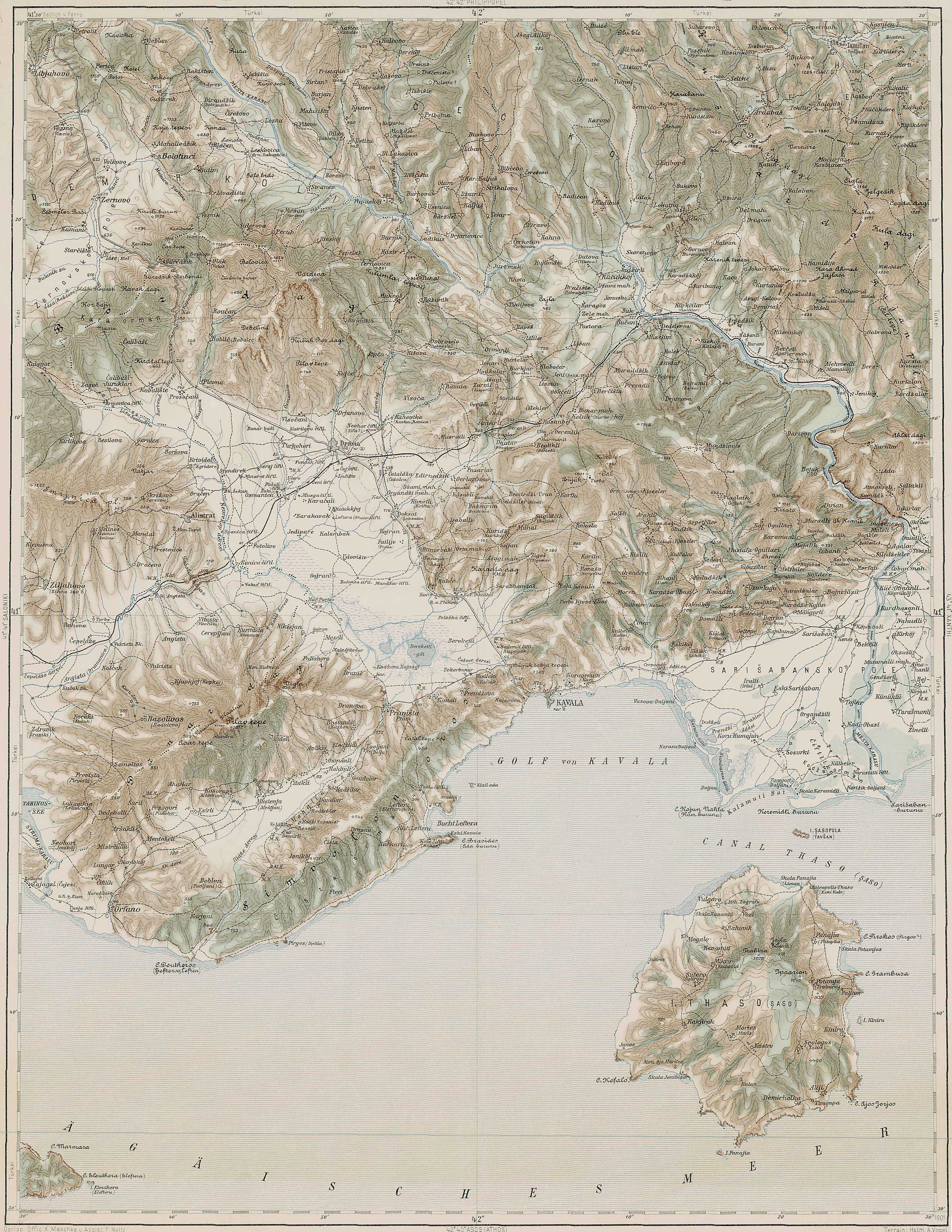
Village is situated in the mountains Bozdag, has altitude about 500 metres from the sea level and about 10 kilometers north of the town of Drama, over Monastiraki. The region has abundant marble deposits.
Climate[edit]
The climate is warm and temperate in Vathylakos. The rainfall in Vathylakos is significant, with precipitation even during the driest month. The climate here is classified as Cfa by the Köppen-Geiger system. The temperature here averages 12.0 °C. In a year, the average rainfall is 559 mm.

The driest month is August, with 23 mm of rainfall. In November, the precipitation reaches its peak, with an average of 67 mm.

The warmest month of the year is July, with an average temperature of 22.0 °C. At 2.2 °C on average, January is the coldest month of the year.

The difference in precipitation between the driest month and the wettest month is 44 mm. The variation in annual temperature is around 19.8 °C.
History[edit]
Ottoman and Turkish era[edit]
In late 14th century, commander Çandarlı Halil Pasha the Elder who was the first Grand Vizier of Murad I's reign joined the region as Kavala and Selanik in the Ottoman lands.

In early period of Ottoman archives according to Ottoman tax registers "Muhasebe-i Vilayet-i Rum İli Defteri" dated 1530 which was not a census, for various reasons, a big amount of the population (women, children, military) is out of record the region known as Kozniçe.[4] Kozniçe has 1 Muslim hane(household) and 2 mücerred(single male) also 25 hane and 6 mücerred is Gebran(Christian) taxpayers[5]. In the same way, it is the one of 30 mixed villages with Muslim and non-Muslims which is total 53 village in Drama rural region.[5]
In later period of Ottoman archives the village known as Kuyçe[6][7] then, in final period of Ottoman archives and in Turkish Republic archives the village known as Koyca.[8]
After the first Balkan war in 1913 village remains within the borders of Bulgarian but after the second Balkan war Greece gain the territory .
Early 20th century[edit]
According to the Greek authorities, population of the village was 589 people in 1913 census data. The population had increased to 607 people in 1920 the census. According to conditions in that time growth of population is one of the rare villages. It is the reason of Muslim population who live together with non-Muslim population in other villages to flee to in higher safe places from the pressures of the gangs.[8]
According to data of Greek agriculture and forestry authorities in 1914, forest land of village was 7000 acres and cultivated land remarked only 1 acre of agricultural data. Product yields were recorded only 50 kg in the book. It is a mountain village and livelihood is based on livestock.[8]
Population exchange[edit]

Because of Treaty of Lausanne village was included the Greco-Turkish population exchange of 1923. All people in the Kovitsa[9] started the journey from the Drama train station to Turkey in summer of 1923.
According to statistics Vasil Kanchov ("Macedonia Ethnography and Statistics") Kovitsa has 410 inhabitants, all Turks in 1900.[10] When its most of Muslim inhabitants left and settled in Kayabaşı and Mahmut Şevket Paşa village in Istanbul, and also others Halitpaşa and Yağcılar in Akhisar in Manisa, Kadıköy in Keşan and some villages of Orhangazi, İznik in Bursa, hence were replaced by entirely Greek 41 refugee families and 131 residents from Turkey. New inhabitants of Kayabaşı lived together with Orthodox inhibitans of Kayabaşı for a while and most of old inhabitants settled in Kayalar in Greece.[11]
World War II[edit]

During the World War II the region was occupied by Bulgarian Army between 1941 and 1944 as most of Thrace.
21st century[edit]
During the former administrative division of Greece ("Kapodistrias" project) and until 2010, Vathylakkos belonged to Monastiraki Local District, the former municipality of Drama the prefecture of Drama.
Other[edit]
There is a church which converted some part of an old mosque, and only one classroom inactive school. Although there is no business in the village, public transportation facilities is limited. Most of the villagers migrated abroad because of lack of business facilities as a result of there is small number of young people in the village.
Gallery[edit]
-
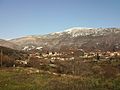
 Vathylakkos
 -
 View of East side from Vathylakkos in Drama
 -
 Square of Vathylakkos
 -
 Vathylakkos in winter
 -
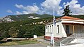
 Inactive school of Vathylakkos
 -
 School of Vathylakkos
 -
 Assumption of Mary Orthodox Church in Vathylakkos Drama
 -
 Church of Vathylakkos
 -
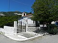
 Chapel
 -
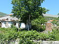 Ruins from period of occupation during World War ıı


See also[edit]
References[edit]
- ^ a b "Αποτελέσματα Απογραφής Πληθυσμού - Κατοικιών 2021, Μόνιμος Πληθυσμός κατά οικισμό" [Results of the 2021 Population - Housing Census, Permanent population by settlement] (in Greek). Hellenic Statistical Authority. 29 March 2024.
- ^ "Πανδέκτης: Kovitsa -- Vathylakkos". pandektis.ekt.gr. Retrieved 2016-01-06.
- ^ "Βαθύλακκος (Δράμας), local government changes". EETAA. Retrieved 7 September 2021.
- ^ "167 numaralı Muhasebe - i Vilayet - i Rum - ili Defteri (937/1530)" (PDF). T.C. Başbakanlık Devlet Arşivleri Müdürlüğü Osmanlı Arşivi Daire Başkanlığı, Vol.1, Ankara, 139. 2003. Archived from the original (PDF) on 2015-04-06.
- ^ a b Demography and settlement in Paşa Sancağı Sol-Kol region according to Muhasebe-i Vilayet-i Rumeli Defteri dated 1530, H. Yeni p.41, p76
- ^ "Беломорие". belomorie.eu. Retrieved 2016-03-16.
- ^ "3rd Military Mapping Survey of Austria-Hungary".
- ^ a b c "Names of our ancestors and our pedigree that comes with population exchange". www.kayabasiselanikliler.org. Retrieved 2016-01-14.
- ^ Names of Turkish people settled from Kovitsa to Kayabaşı in 1923
- ^ Кънчов, Васил. Македония. Етнография и статистика, София, 1900, стр. 198.
- ^ Κατάλογος των προσφυγικών συνοικισμών της Μακεδονίας σύμφωνα με τα στοιχεία της Επιτροπής Αποκαταστάσεως Προσφύγων (ΕΑΠ) έτος 1928
External links[edit]
- Association of the exchanged Turkish people (in Turkish)
- Brief history of district (in Turkish)
- Tarihi süreçte mübadelenin sebepleri ve Lozan’daki mübadele konusu (in Turkish)
- Türk hikayesinde mübadele, F.Sakallı (in Turkish)
- Mübadele tarihinden sayfalar (in Turkish)
- 1997 Βαθυλακκος-Δραμας
- Association's album of trip Vathylakkos in 2011
- Religious and demographic development in the southwestern Rodope Mountaıns in the second half of the fifteenth century: A case study of the Tahrir Register of 1478, A. CHMIEL
- History of Drama (Greek)