
Pongo River (South Sudan)
| Pongo River | |
|---|---|
 | |
| Location | |
| Country | South Sudan |
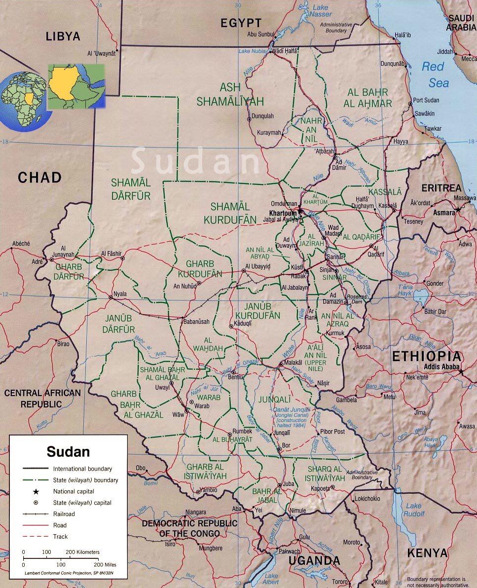
| State | Western Bahr el Ghazal |
| Physical characteristics | |
| Source | |
| • coordinates | 7°01′53″N 26°41′29″E / 7.0314°N 26.6913°E |
| Mouth | Lol River |
• coordinates | 8°56′32″N 28°08′59″E / 8.9422°N 28.1498°E |
The Pongo River is a stream in the South Sudanese state of Northern Bahr el Ghazal. It is a right tributary of the Lol River.
Course[edit]
The Pongo rises in the south of Western Bahr el Ghazal. It flows in a north northeast direction into Western Bahr el Ghazal, and passes to the east of Malek Alei. The river branches, with one branch flowing north to join the Lol River around 8°51′43″N 27°37′04″E / 8.8619°N 27.6178°E while the longer main branch flows northeast and then east to the south of Akon before turning northeast to join the Lol River.[1]
See also[edit]
References[edit]
- ^ "Western Bahr el Ghazal State Map (as of Dec 2016)" (PDF), ReliefWeb, OCHA, retrieved 2020-12-16
External links[edit]