Nsuta
Nsuta | |
|---|---|
Town and District Capital | |
Location of Nsuta within Ashanti | |
| Coordinates: 7°00′40″N 1°22′53″W / 7.01111°N 1.38139°W | |
| Sovereign state | |
| Region | |
| District | Sekyere Central |
| Elevation | 1,362 ft (415 m) |
| Time zone | GMT |
| • Summer (DST) | GMT |
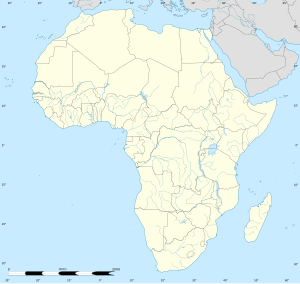
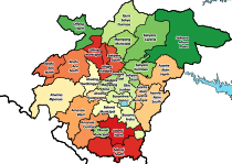
Nsuta is a small town and is the capital of Sekyere Central, a district in the Ashanti Region of Ghana.[1] Nsuta is in Ashanti although there are a number of towns in Ghana with this name.
Transport[edit]
This Nsuta is served by a station on the national railway network.[1] There is no railway station serving Asante-Nsuta.
Towns and villages under Asante-Nsuta Traditional Area[edit]
- Abaasua
- Abonkoso
- Aframso
- Akyease
- Amangoase
- Amuaman
- Amugyewaa
- Anansu/Appiakrom
- Ankamadoa
- Asuafu
- Atwea
- Awanya
- Bimma
- Bonkron
- Dadease
- Danso
- Ɛkuo
- Gyansa
- Gyetiase
- kↄtↄ Dida
- Kruwi
- Kwagyei
- Kyebi
- Kyeiase
- Kyekyebon
- Mpantuase
- Mpempɛ
- Nkudwua
- Nkwabrim
- Ohemaa Dida
- Pataase
- Tadiɛso
- Tenten
- Twerefuo
- Duamo
- Wuobuoho
There are also three major towns in the Sekyere Central District Assembly, Namely Sekyere-Beposo, Sekyere-Atonsu and Sekyere-Kwamang.
References[edit]
- ^ a b "Sekyere Central".


