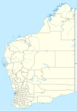
Katers Island
| Geography | |
|---|---|
| Coordinates | 14°27′49″S 125°32′01″E / 14.4637°S 125.5336°E |
| Total islands | 1 |
| Area | 1,718 ha (4,250 acres) |
| Highest elevation | 101 m (331 ft) |
| Administration | |
Australia | |
| Demographics | |
| Population | 0 |
Katers Island is an uninhabited island located in the Kimberley region of Western Australia.
The island encompasses an area of 1,718 hectares (4,245 acres).[1] Found approximately 1.4 kilometres (1 mi) off-shore the island has a maximum elevation of 101 metres (331 ft) it is composed of scarp country with massive scree and deep joints.[2]
A new species of Rock Wallaby, Petrogale burbidgei. was discovered on Katers and other islands in the archipelago in 1977.[3]
References[edit]
- ^ "Status Performance Assessment: Biodiversity conservation of Western Australian Islands" (PDF). Government of Western Australia. 1 April 2010. Archived from the original (PDF) on 14 March 2018. Retrieved 14 August 2014.
- ^ L. A. Gibson (2010). "Biodiversity values on selected Kimberley Islands, Western Australia" (PDF). Western Australian Museum. Retrieved 14 August 2014.
- ^ D. J. Kitchener and G. Sanson (30 June 1978). "Petrogale burbidgei, a new species of Rock Wallaby from Kimberley, Western Australia" (PDF). Western Australian Museum. Retrieved 14 August 2014.

