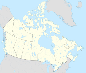
K'mooda/Lowe-Gamble Conservancy
From Wikipedia, the free encyclopedia
(Redirected from K’mooda/Lowe-Gamble Conservancy)
Conservancy in British Columbia, Canada
| K’mooda/Lowe-Gamble Conservancy | |
|---|---|
| Location | North Coast, British Columbia, Canada |
| Nearest city | Hartley Bay |
| Coordinates | 53°33′55″N 129°26′22″W / 53.56528°N 129.43944°W / 53.56528; -129.43944 |
| Area | 14,454 hectares (144.54 km2) |
| Elevation | 251 meters (823 ft) |
| Established | July 13, 2006; 17 years ago (2006-07-13) |
| Governing body | BC Parks |
K'mooda/Lowe-Gamble Conservancy is a conservancy in North Coast, British Columbia, Canada. It covers an area of 14,454 hectares (144.54 km2), and was founded on July 13, 2006.[1]
Geography[edit]
The conservancy is located about 20 kilometers northwest of Hartley Bay, at an altitude of 251 meters above the sea level.[2] It consists of territory around three lakes: Lowe, Weare and Gamble.[3]
References[edit]
- ^ "K'mooda/Lowe-Gamble Conservancy". BC Parks. Retrieved June 22, 2023.
- ^ "K'Mooda/Lowe-Gamble Conservancy topographic map, elevation, terrain". Topographic maps. Retrieved June 22, 2023.
- ^ "Topographical Map of K'mooda / Lowe-Gamble Conservacy" (PDF). Ministry of Forests, Lands and Natural Resource Operations. January 9, 2013. Retrieved June 22, 2023.
This British Columbia protected areas related article is a stub. You can help Wikipedia by expanding it. |


