
Cuelei River
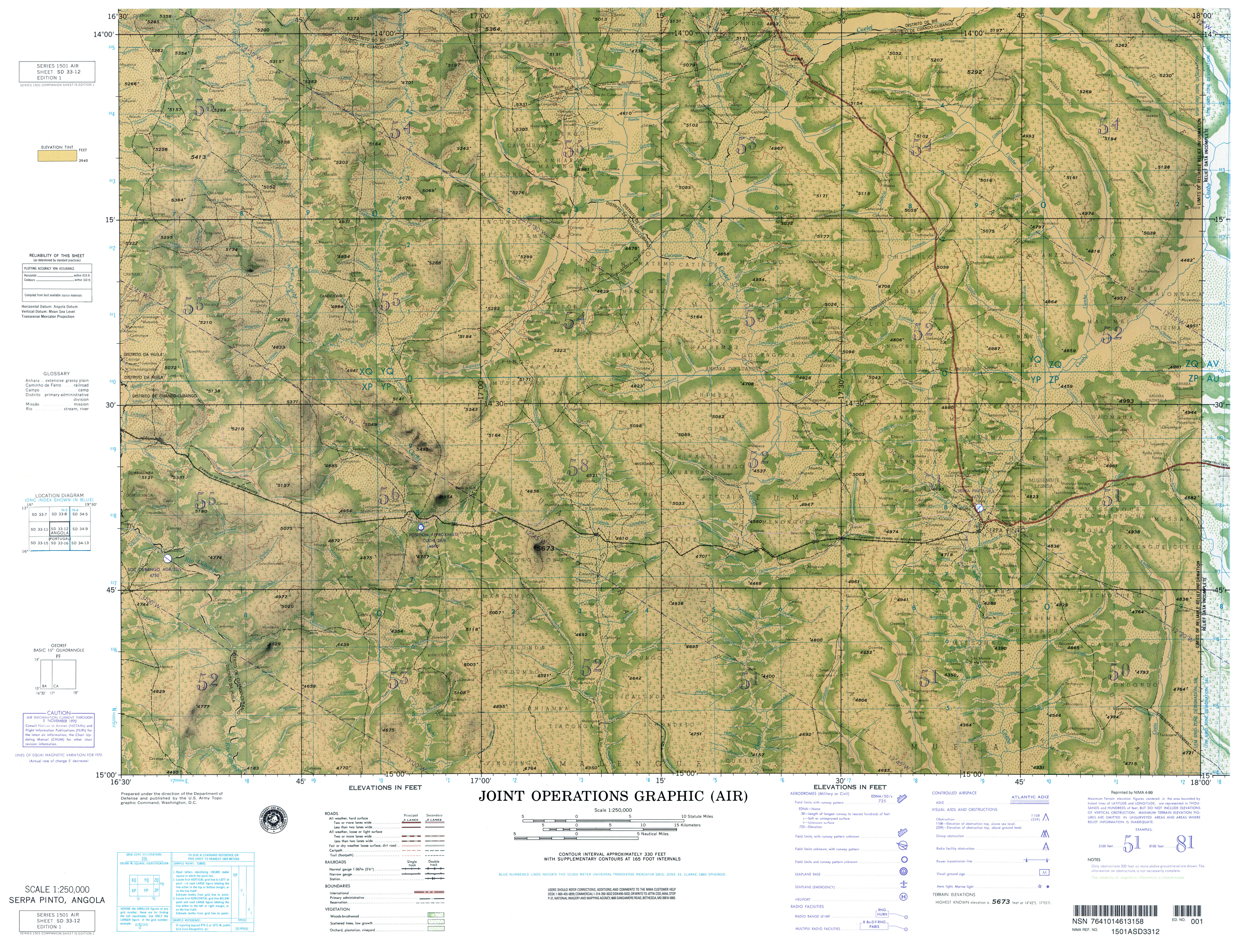
The Cuelei River (Kwelei[1]) is a river in central Angola of southwestern Africa.[2] For part of its length, it forms the border between Bié Province to the north and Cuando Cubango Province to the south.[3] Its major tributary the Cuceque, and its tributary the Missango, also form part of that boundary.[3]
The Cuelei arises at 13°46′51″S 17°51′35″E / 13.78083°S 17.85972°E in the Anhara-do-Cuelei (Cuelei Salt pan),[4] at an elevation of 1,520 metres (4,990 ft). It flows basically south for its entire length. The Cuelei flows into the Cuchi which flows into the Cubango.[5]
Notes[edit]
- ^ Kwelei (Variant) at GEOnet Names Server, United States National Geospatial-Intelligence Agency
- ^ Cuelei (Approved) at GEOnet Names Server, United States National Geospatial-Intelligence Agency
- ^ a b Joint Operations Graphic (Air) SD 33-12, Serpa Pinto, Angola (Map) (1 (NIMA reprint April 1999) ed.). 1:250,000. U.S. Army Topographic Command.
- ^ "anhara" is the name in Angola for the marginal vegetation area on rivers. "Dicionário da Língua Portuguesa - com Acordo Ortográfico: anhara". Infopédia.
- ^ Joint Operations Graphic (JOG) SD 33-16, Caiundo, Angola (Map) (2 ed.). 1:250,000. National Geospatial-Intelligence Agency.
External links[edit]
- Railway bridge over the Cuelei River about 30 km west of Menongue Photo: Ponte sobre o rio Cuelei, caminho de ferro Namibe-Menongue, Panoramio, archived from the original on 27 April 2014, retrieved 2 November 2017
15°28′45″S 17°20′01″E / 15.47917°S 17.33361°E