Bekal Airport
Bekal Airport | |||||||||||
|---|---|---|---|---|---|---|---|---|---|---|---|
| Summary | |||||||||||
| Airport type | Public | ||||||||||
| Owner | Airports Authority of India | ||||||||||
| Operator | Airports Authority of India | ||||||||||
| Serves | Bekal / Kasargod | ||||||||||
| Location | Bekal, Kerala, India | ||||||||||
| Coordinates | 12°25′30.093″N 075°02′50.472″E / 12.42502583°N 75.04735333°E | ||||||||||
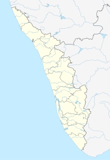
| Map | |||||||||||
| Runways | |||||||||||
| |||||||||||
Bekal Airport is a proposed airport to be constructed at Periya, near Bekal, Kerala.
History[edit]
In 2016, the Government of Kerala has appointed Cochin International Airport Limited to undertake the Bekal Airstrip project.[1]
Under the UDAN 4 scheme, the Ministry of Civil Aviation (India) gave preliminary approval to the Bekal Airstrip project in 2019.[2] The airport would spread across 80 acres of land at Kanniyamkundu, 7 km from Periya.[3]
The Airports Authority of India will develop the infrastructure and operate the airport.[3]
References[edit]
- ^ "Bekal Airport New Airport Profile". centreforaviation.com. Retrieved 2021-06-24.
- ^ "Central nod for K'god airstrip plan". The Times of India. December 13, 2019. Retrieved 2021-06-24.
- ^ a b "Centre gives green signal to Bekal Airstrip". The New Indian Express. Retrieved 2021-06-24.


