Azamgarh Airport
This article needs additional citations for verification. (April 2019) |
Azamgarh Airport | |||||||||||
|---|---|---|---|---|---|---|---|---|---|---|---|
| Summary | |||||||||||
| Airport type | Public | ||||||||||
| Owner | Government of Uttar Pradesh | ||||||||||
| Operator | Government of Uttar Pradesh | ||||||||||
| Serves | Azamgarh | ||||||||||
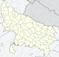
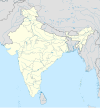
| Location | Manduri, Azamgarh | ||||||||||
| Opened | 2024 | ||||||||||
| Elevation AMSL | 250 ft / 76 m | ||||||||||
| Coordinates | 26°09′12″N 83°07′06″E / 26.15333°N 83.11833°E | ||||||||||
| Map | |||||||||||
| Runways | |||||||||||
| |||||||||||
Village Manduri | |||||||||||
Azamgarh Airport (IATA: AZH, ICAO: VEAH) is a Domestic Airport at Manduri Village outside of Azamgarh city, near Kuan Devchand Patti, in the Indian state of Uttar Pradesh.[1] It is being developed by upgrade of the existing government airstrip.[1][2] The existing airstrip can support aircraft weighing up to 5,700 kg (12,600 lb) with a runway of 1,400 by 23 metres (4,593 by 75 ft).
Airlines and destinations[edit]
| Airlines | Destinations |
|---|---|
| FlyBig | Lucknow[3] |
See also[edit]
References[edit]
- ^ a b "Development of Airport in UP". Archived from the original on 22 October 2018. Retrieved 10 March 2019.
- ^ "Untitled Page". Archived from the original on 8 March 2019. Retrieved 10 March 2019.
- ^ "Now, direct flights from Lucknow to 5 UP cities". Times of India. Retrieved 29 February 2024.


