
Gregorville, Wisconsin
Gregorville, Wisconsin | |
|---|---|
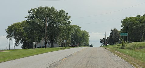
 Looking east at the intersection in Gregorville | |
 Gregor- ville  Gregor- ville | |
| Coordinates: 44°37′06″N 87°32′47″W / 44.61833°N 87.54639°W | |
| Country | |
| State | |
| County | Kewaunee |
| Town | Lincoln |
| Elevation | 217 m (712 ft) |
| Time zone | UTC-6 (Central (CST)) |
| • Summer (DST) | UTC-5 (CDT) |
| Area code | 920 |
| GNIS feature ID | 1577621[1] |
Gregorville is an unincorporated community in the town of Lincoln, Kewaunee County, Wisconsin, United States. It sits at the junction of County Highways P and S, 5.5 miles (8.9 km) west of Algoma.[2] The community was most likely named for Frank Gregor, a Bohemian-born farmer who was Wisconsin's next-to-last surviving Civil War veteran when he died in 1937. The post office was established in 1899, with Wenzel Zlab as the first postmaster.[3]
Gallery[edit]
-
 Looking south in Gregorville
 -
 The sign for Gregorville
 -
 Sign for the junction of county trunks P and S


References[edit]
- ^ U.S. Geological Survey Geographic Names Information System: Gregorville, Wisconsin
- ^ Kewaunee County (PDF) (Map). Wisconsin Department of Transportation. 2018. Retrieved September 22, 2018.
- ^ Callary, Edward (2016). Place Names of Wisconsin. Madison, WI: University of Wisconsin Press. p. 111. ISBN 978-0-299-30964-0.
Municipalities and communities of Kewaunee County, Wisconsin, United States | ||
|---|---|---|
| Cities |  | |
| Villages | ||
| Towns | ||
| CDP | ||
| Unincorporated communities | ||
| Former communities | ||
| Footnotes | ‡This populated place also has portions in an adjacent county or counties | |
This article about a location in Kewaunee County, Wisconsin is a stub. You can help Wikipedia by expanding it. |