
Aktogay, Sarysu District
Aktogay
Ақтоғай | |
|---|---|
 Aktogay | |
| Coordinates: 43°26′52″N 69°52′56″E / 43.44778°N 69.88222°E | |
| Country | Kazakhstan |
| Regions of Kazakhstan | Zhambyl Region |
| Districts of Kazakhstan | Sarysu District |
| Population (2009) | |
| • Total | 781 |
| Time zone | UTC+6 (East Kazakhstan Time) |
| Post code | 080704 |
Aktogay (Kazakh: Ақтоғай) is a town located in the Sarysu District, Zhambyl Region, Kazakhstan.[1] It is part of Zhanaaryk rural district (КАТО code — 316037200).[2]
Demographics[edit]
According to the 2009 Kazakhstan census, the town has a population of 781 people. In 1999 the town had a population of 806.[3]
Geography[edit]
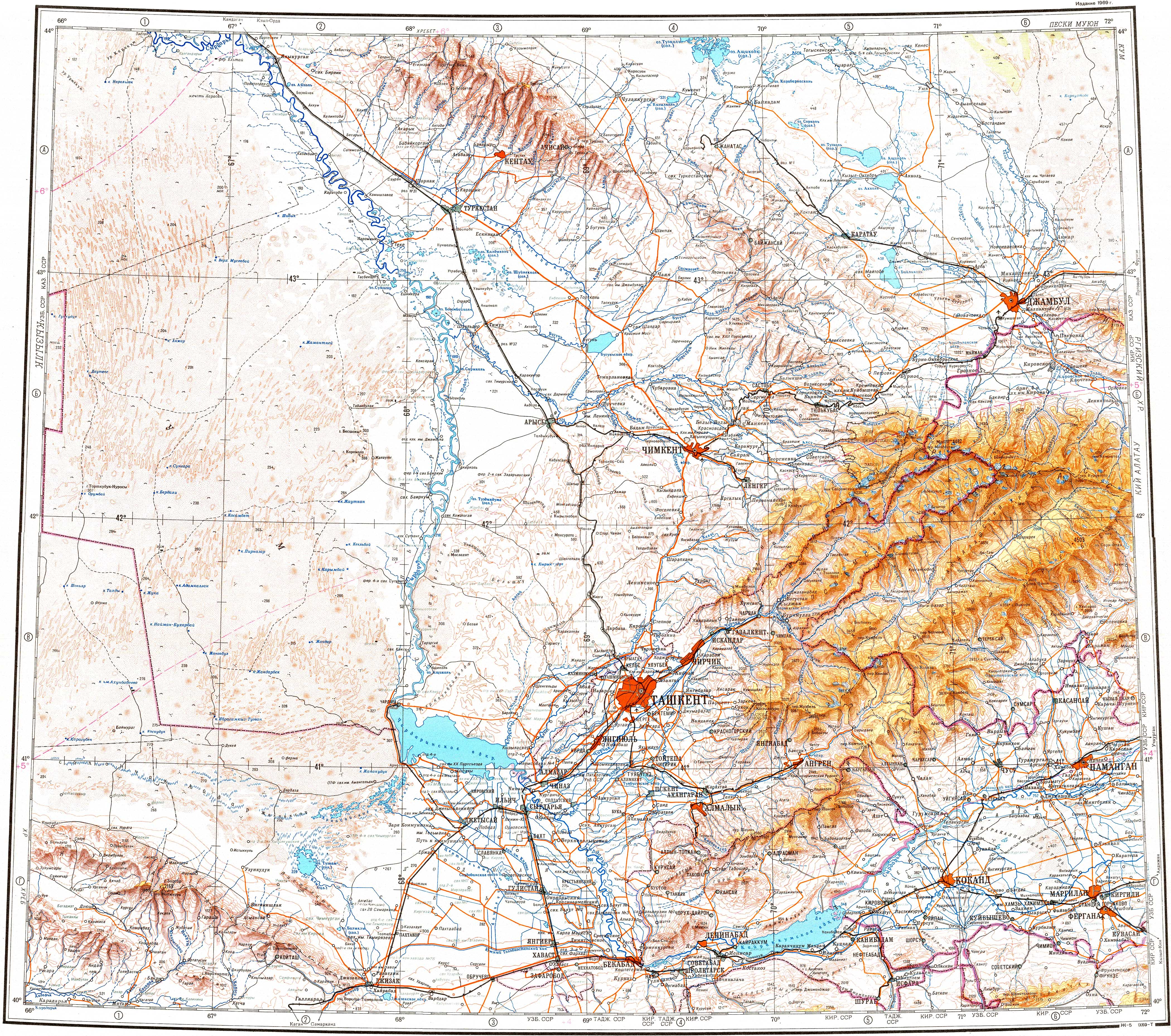
The town is located in the northern slopes of the Karatau Range by the right bank of the Shabakty river, south of its confluence with the Kyrshabakty, its main tributary.[4][5]
References[edit]
- ^ Google Earth.
- ^ "База КАТО". Агентство Республики Казахстан по статистике. Archived from the original on 2013-09-27.
- ^ Население Республики Казахстан (PDF) (in Russian). Committee on Statistics of Ministry of National Economy of the Republic of Kazakhstan. 2011. Archived (PDF) from the original on 2013-05-13.
- ^ "K-42 Topographic Chart (in Russian)". Retrieved 25 October 2022.
- ^ Google Earth.
External links[edit]
This Kazakhstan location article is a stub. You can help Wikipedia by expanding it. |