
File:SWODA Map.png
No higher resolution available.
SWODA_Map.png (606 × 284 pixels, file size: 12 KB, MIME type: image/png)
| This is a file from the Wikimedia Commons. Information from its description page there is shown below. Commons is a freely licensed media file repository. You can help. |
Summary
| Description |
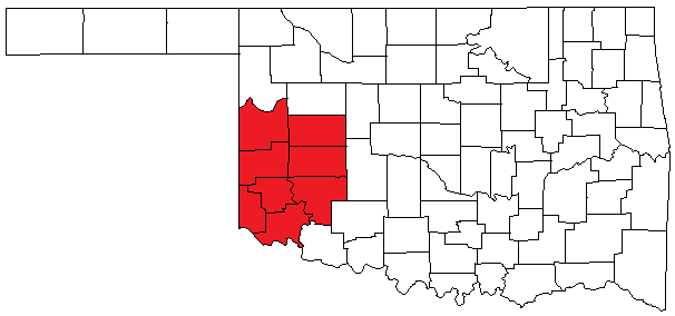
English: Map of Oklahoma highlighting counties served by the South Western Oklahoma Development Authority (SWODA). |
| Date | |
| Source |
I created this image entirely by myself. Transferred from en.wikipedia |
| Author | Acntx |
Licensing
| |
This work has been released into the public domain by its author, Acntx, at the English Wikipedia project. This applies worldwide. In case this is not legally possible: |
Original upload log
The original description page was here. All following user names refer to en.wikipedia.
- 2010-06-07 16:19 Acntx 606×284 (12362 bytes)
File history
Click on a date/time to view the file as it appeared at that time.
| Date/Time | Thumbnail | Dimensions | User | Comment | |
|---|---|---|---|---|---|
| current | 13:43, 12 June 2010 | | 606 × 284 (12 KB) | BotMultichill | {{BotMoveToCommons|en.wikipedia|year={{subst:CURRENTYEAR}}|month={{subst:CURRENTMONTHNAME}}|day={{subst:CURRENTDAY}}}} == {{int:filedesc}} == {{Information |description={{en|1=Map of Oklahoma highlighting counties served by the South Western Oklahoma Dev |
File usage
The following pages on the English Wikipedia use this file (pages on other projects are not listed):