
File:Paris Sainte Chapelle East View 02.JPG
Size of this preview: 400 × 600 pixels. Other resolutions: 160 × 240 pixels | 320 × 480 pixels | 512 × 768 pixels | 682 × 1,024 pixels | 1,365 × 2,048 pixels | 3,482 × 5,223 pixels.
Original file (3,482 × 5,223 pixels, file size: 7.97 MB, MIME type: image/jpeg)
| This is a file from the Wikimedia Commons. Information from its description page there is shown below. Commons is a freely licensed media file repository. You can help. |
Summary
| Description |
Deutsch: Ostansicht der Sainte-Chapelle mit Gittertor an der Cour de Mai des Justizpalastes in Paris, Frankreich
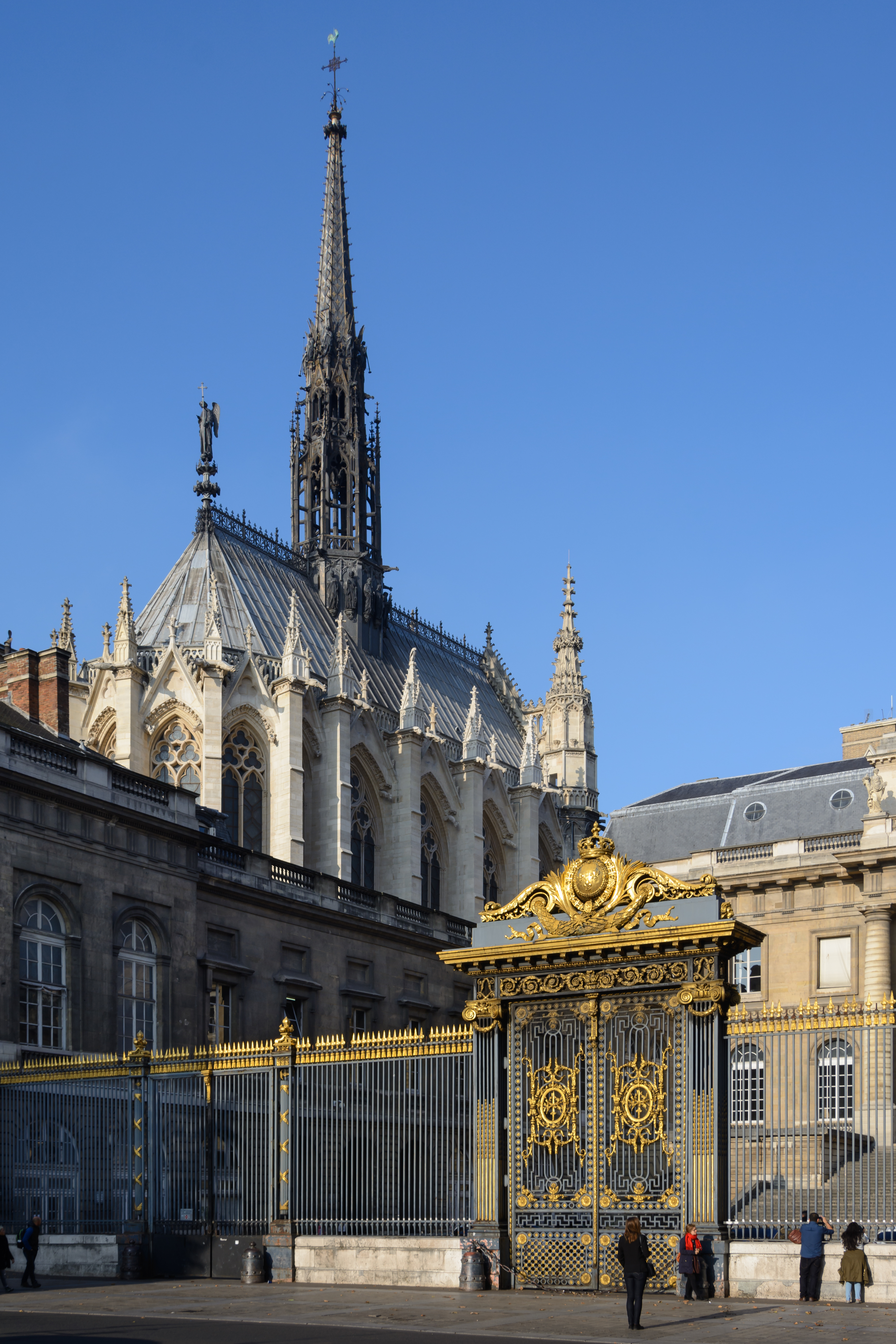
English: East view of Sainte-Chapelle with gate at the Cour de Mai of the Palais de Justice in Paris, France
Español: Vista de la entrada al Cour de Mai del Palacio de Justicia de París, Francia. En el fondo, el lado Este de la Santa Capilla.
Polski: Widok od strony wschodniej na Sainte-Chapelle. Na pierwszym planie brama prowadząca na Dziedziniec Majowy (franc. Cour du Mai) Pałacu Sprawiedliwości w Paryżu.
Português: Vista do portão de acesso ao Pátio de Maio no Palácio da Justiça de Paris, França. Ao fundo, a Sainte-Chapelle.
Čeština: Kaple Sainte Chapelle a vstupní brána do Justičního paláce na ostrově Île de la Cité v Paříži.
Македонски: Светата капела со портата на Судската палата во Париз.
Nederlands: De Sainte-Chapelle in Parijs, ooit de hofkapel van Lodewijk IX van Frankrijk, wordt omringd door de gebouwen van het Palais de Justice
Українська: Sainte-Chapelle with gate at the Cour de Mai of the Palais de Justice in Paris, France
|
||
| Date | |||
| Source | Own work | ||
| Author | Uoaei1 |
| Camera location | | View this and other nearby images on: OpenStreetMap |
|---|
Assessment
This image was selected as picture of the day on Wikimedia Commons for 10 April 2017. It was captioned as follows: English: Sainte-Chapelle with gate at the Cour de Mai of the Palais de Justice in Paris, France Other languages:
Čeština: Kaple Sainte Chapelle a vstupní brána do Justičního paláce na ostrově Île de la Cité v Paříži. Deutsch: Sainte-Chapelle mit Gittertor an der Cour de Mai des Justizpalastes in Paris, Frankreich English: Sainte-Chapelle with gate at the Cour de Mai of the Palais de Justice in Paris, France Español: Vista de la entrada al Cour de Mai del Palacio de Justicia de París, Francia. En el fondo, la Santa Capilla. Nederlands: De Sainte-Chapelle in Parijs, ooit de hofkapel van Lodewijk IX van Frankrijk, wordt omringd door de gebouwen van het Palais de Justice Polski: Widok od strony wschodniej na Sainte-Chapelle. Na pierwszym planie brama prowadząca na Dziedziniec Majowy (franc. Cour du Mai) Pałacu Sprawiedliwości w Paryżu. Português: Vista do portão de acesso ao Pátio de Maio no Palácio da Justiça de Paris, França. Ao fundo, a Sainte-Chapelle. Македонски: Светата капела со портата на Судската палата во Париз. Українська: Sainte-Chapelle with gate at the Cour de Mai of the Palais de Justice in Paris, France
Каплиця Сент-Шапель в Парижі. На передньому плані — огорожа Палацу правосуддя. |
|
This image has been assessed using the Quality image guidelines and is considered a Quality image.
|
Licensing
I, the copyright holder of this work, hereby publish it under the following license:
This file is licensed under the Creative Commons Attribution-Share Alike 4.0 International license.
- You are free:
- to share – to copy, distribute and transmit the work
- to remix – to adapt the work
- Under the following conditions:
- attribution – You must give appropriate credit, provide a link to the license, and indicate if changes were made. You may do so in any reasonable manner, but not in any way that suggests the licensor endorses you or your use.
- share alike – If you remix, transform, or build upon the material, you must distribute your contributions under the same or compatible license as the original.
File history
Click on a date/time to view the file as it appeared at that time.
| Date/Time | Thumbnail | Dimensions | User | Comment | |
|---|---|---|---|---|---|
| current | 15:28, 10 December 2015 | | 3,482 × 5,223 (7.97 MB) | Uoaei1 | User created page with UploadWizard |
File usage
The following pages on the English Wikipedia use this file (pages on other projects are not listed):
Global file usage
The following other wikis use this file:
- Usage on az.wikipedia.org
- Usage on be-tarask.wikipedia.org
- Usage on crh.wikipedia.org
- Usage on cs.wikipedia.org
- Usage on cv.wikipedia.org
- Usage on de.wikipedia.org
- Usage on el.wikipedia.org
- Usage on fr.wikipedia.org
- Usage on hu.wikipedia.org
- Usage on hy.wikipedia.org
- Usage on id.wikipedia.org
- Usage on ka.wikipedia.org
- Usage on ko.wikipedia.org
- Usage on lbe.wikipedia.org
- Usage on lez.wikipedia.org
- Usage on mhr.wikipedia.org
- Usage on mk.wikipedia.org
- Usage on ms.wikipedia.org
- Usage on os.wikipedia.org
- Usage on pl.wikipedia.org
- Usage on pt.wikipedia.org
- Usage on ru.wikipedia.org
- Usage on ru.wikinews.org
- Usage on sah.wikipedia.org
- Usage on sl.wikipedia.org
- Usage on tyv.wikipedia.org
- Usage on udm.wikipedia.org
- Usage on uk.wikipedia.org
- Usage on www.wikidata.org
- Usage on zh.wikipedia.org