
File:Paris 5th.png
Size of this preview: 645 × 600 pixels. Other resolutions: 258 × 240 pixels | 516 × 480 pixels | 826 × 768 pixels | 1,150 × 1,069 pixels.
Original file (1,150 × 1,069 pixels, file size: 228 KB, MIME type: image/png)
| This is a file from the Wikimedia Commons. Information from its description page there is shown below. Commons is a freely licensed media file repository. You can help. |
Summary
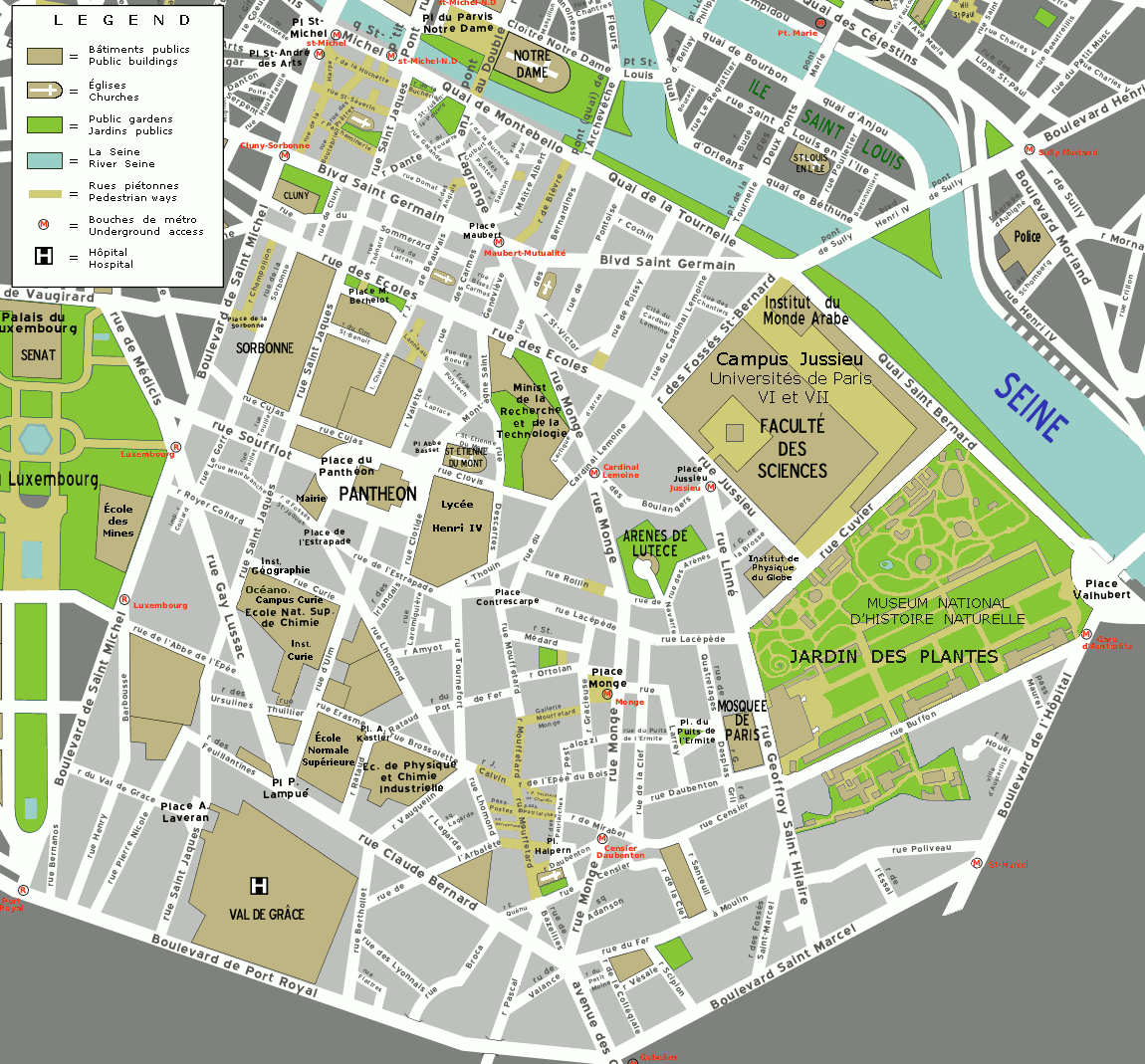
Map of the 5th arrondissement of Paris. Map created by Mark Jaroski for Wikitravel.
Copying
© Copyright 2005 by Mark Jaroski
This map is free content. You may redistribute it or your derivative work under the terms of the Creative Commons by-sa license versions 1 or 2.
Licensing
This file is licensed under the Creative Commons Attribution-Share Alike 2.5 Generic license.
- You are free:
- to share – to copy, distribute and transmit the work
- to remix – to adapt the work
- Under the following conditions:
- attribution – You must give appropriate credit, provide a link to the license, and indicate if changes were made. You may do so in any reasonable manner, but not in any way that suggests the licensor endorses you or your use.
- share alike – If you remix, transform, or build upon the material, you must distribute your contributions under the same or compatible license as the original.
Original upload log
The original description page was here. All following user names refer to fr.wikivoyage-old.
- 2005-06-03 13:21 (WT-fr) Quirk 1150×1069 (174705 bytes) ==Copying== © Copyright 2005 by Mark Jaroski This map is free content. You may redistribute it or your derivative work under the terms of the (Import from wikitravel.org/fr)
File history
Click on a date/time to view the file as it appeared at that time.
| Date/Time | Thumbnail | Dimensions | User | Comment | |
|---|---|---|---|---|---|
| current | 12:58, 21 May 2021 | | 1,150 × 1,069 (228 KB) | Maisrimer | Churches, metro St-Marcel, details |
| 16:59, 29 April 2021 |  | 1,150 × 1,069 (230 KB) | Maisrimer | Without commercial advertising | |
| 16:37, 11 August 2017 |  | 1,150 × 1,069 (237 KB) | Mélomène | Campus Curie, tour Zamanski | |
| 12:18, 6 March 2015 |  | 1,150 × 1,069 (237 KB) | Spiridon Ion Cepleanu | Some other orthographic ameliorations | |
| 17:55, 5 March 2015 |  | 1,150 × 1,069 (236 KB) | Spiridon Ion Cepleanu | Mosquée, not "Moquée" & more exactly Jardin des Plantes | |
| 20:51, 18 September 2005 |  | 1,150 × 1,069 (171 KB) | Thbz | Map of the 5th arrondissement of Paris. Map created by [http://wikitravel.org/en/User:Mark Mark Jaroski] for Wikitravel. ==Copying== © Copyright 2005 by Mark Jaroski This map is free content. You may redistribute it or your derivative work under the t |
File usage
The following pages on the English Wikipedia use this file (pages on other projects are not listed):
Global file usage
The following other wikis use this file:
- Usage on ar.wikipedia.org
- Usage on be.wikipedia.org
- Usage on bs.wikipedia.org
- Usage on ca.wikipedia.org
- Usage on de.wikipedia.org
- Usage on el.wikipedia.org
- Usage on en.wikivoyage.org
- Usage on eo.wikipedia.org
- Usage on es.wikipedia.org
- Usage on fa.wikipedia.org
- Usage on fr.wikipedia.org
- Usage on fr.wikivoyage.org
- Usage on he.wikipedia.org
- Usage on it.wikipedia.org
- Usage on ja.wikipedia.org
- Usage on la.wikipedia.org
- Usage on nl.wikipedia.org
- Usage on no.wikipedia.org
- Usage on pl.wikipedia.org
- Usage on ru.wikipedia.org
- Usage on sk.wikipedia.org
- Usage on sr.wikipedia.org
- Usage on sv.wikipedia.org
- Usage on vi.wikipedia.org
- Usage on zh.wikipedia.org