
File:Pakistan Punjab location map.svg

Size of this PNG preview of this SVG file: 494 × 600 pixels. Other resolutions: 198 × 240 pixels | 395 × 480 pixels | 632 × 768 pixels | 843 × 1,024 pixels | 1,686 × 2,048 pixels | 849 × 1,031 pixels.
Original file (SVG file, nominally 849 × 1,031 pixels, file size: 617 KB)
| This is a file from the Wikimedia Commons. Information from its description page there is shown below. Commons is a freely licensed media file repository. You can help. |
Summary
| Description |
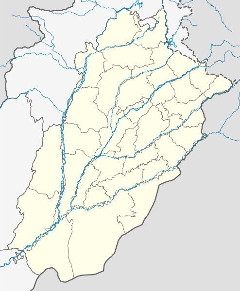
English: Location map of Punjab
|
||||||||||||
| Date | |||||||||||||
| Source | Own work | ||||||||||||
| Author | Milenioscuro | ||||||||||||
Licensing
I, the copyright holder of this work, hereby publish it under the following license:
This file is licensed under the Creative Commons Attribution-Share Alike 4.0 International license.
- You are free:
- to share – to copy, distribute and transmit the work
- to remix – to adapt the work
- Under the following conditions:
- attribution – You must give appropriate credit, provide a link to the license, and indicate if changes were made. You may do so in any reasonable manner, but not in any way that suggests the licensor endorses you or your use.
- share alike – If you remix, transform, or build upon the material, you must distribute your contributions under the same or compatible license as the original.
File history
Click on a date/time to view the file as it appeared at that time.
| Date/Time | Thumbnail | Dimensions | User | Comment | |
|---|---|---|---|---|---|
| current | 21:33, 25 April 2024 | | 849 × 1,031 (617 KB) | GrandEscogriffe | north-south stretching |
| 03:46, 4 October 2021 |  | 849 × 883 (618 KB) | C1MM | Fixed Nanakana Sahib district | |
| 03:30, 15 September 2021 |  | 849 × 883 (618 KB) | C1MM | Added better boundaries and rivers | |
| 22:49, 24 October 2020 |  | 779 × 912 (191 KB) | C1MM | Fixed background | |
| 22:40, 24 October 2020 |  | 779 × 912 (191 KB) | C1MM | Reframed document | |
| 15:54, 18 April 2020 |  | 779 × 912 (188 KB) | C1MM | Standardized colors and rivers - showed de facto administrative situation of Kashmir | |
| 15:19, 14 May 2019 |  | 779 × 912 (186 KB) | Milenioscuro | User created page with UploadWizard |
File usage
More than 100 pages use this file. The following list shows the first 100 pages that use this file only. A full list is available.
- Abdul Hakeem, Pakistan
- Ahdi, Pakistan
- Ahmad Nagar Chattha
- Attock
- Bahawalnagar
- Bahawalpur
- Banka Cheema
- Battle of Chawinda
- Battle of the Hydaspes
- Bhakkar
- Bhalwal
- Bhera
- Burewala
- Chak Dina
- Chakwal
- Chandhar
- Chiniot
- Chishtian
- Chunian
- Darya Khan
- Daska
- Daultala
- Dera Ghazi Khan
- Derawar Fort
- Dipalpur
- Faisalabad
- Faisalabad International Airport
- Fateh Jang
- Gah, Pakistan
- Gojra
- Gujar Khan
- Gujrat, Pakistan
- Hafizabad
- Hasan Abdal
- Hasilpur
- Jalalpur Jattan
- Jampur
- Jaranwala
- Jauharabad
- Jehanian
- Jhang
- Jhelum
- Johar Town
- Kakrali
- Kalabagh
- Kallar Kahar
- Kamalia
- Kamoke
- Kartarpur, Pakistan
- Katas Raj Temples
- Khanewal
- Khanpur, Rahim Yar Khan
- Khewra Salt Mine
- Khushab
- Lahore
- Lalamusa
- Langah, Chakwal
- Lodhran
- Machi Goth
- Malakwal
- Mandi Bahauddin
- Mangowal Gharbi
- Mankera
- Matore
- Mian Channu
- Mianwali
- Multan International Airport
- Murree
- Muzaffargarh
- Nankana Sahib
- Narali
- Narowal
- Okara, Pakistan
- Pakpattan
- Pasrur
- Pattoki
- Phalia
- Phularwan
- Pind Dadan Khan
- Pindigheb
- Pir Mahal
- Rabwah
- Rahim Yar Khan
- Raipur, Pakistan
- Rajanpur
- Rohtas Fort
- Rojhan
- Sadiqabad, Punjab
- Sahiwal
- Sargodha
- Shahpur, Punjab
- Sheikhupura
- Sialkot
- Sohawa Tehsil
- Soon Valley
- Tandlianwala
- Toba Tek Singh
- Vehari
- Wah (city)
- Wah Cantonment
View more links to this file.
Global file usage
The following other wikis use this file:
- Usage on bn.wikipedia.org
- রাওয়ালপিন্ডি
- শিয়ালকোট
- মুলতান আন্তর্জাতিক বিমানবন্দর
- গুজরানওয়ালা
- সারগোধা
- রহিম ইয়ার খান
- সাদিকাবাদ
- সাহিওয়াল
- কলাবাঘ
- প্রহ্লাদপুরী মন্দির, মুলতান
- মডিউল:অবস্থান মানচিত্র/উপাত্ত/পাকিস্তান পাঞ্জাব
- মডিউল:অবস্থান মানচিত্র/উপাত্ত/পাকিস্তান পাঞ্জাব/নথি
- রাজনপুর
- নুর মহল (পাকিস্তান)
- চৌবুর্জি
- রোশনাই গেট
- বাহাওয়ালনগর
- জেনারেল হেডকোয়ার্টার (পাকিস্তান সেনাবাহিনী)
- বাহাউদ্দিন জাকারিয়ার মাজার
- বাহাওয়ালপুর গির্জায় গোলাগুলি
- ভগওয়াল
- কটাসরাজ মন্দির
- Usage on de.wikipedia.org
- Usage on eo.wikipedia.org
- Usage on es.wikipedia.org
- Usage on fa.wikipedia.org
View more global usage of this file.