
File:Outline map of Ulyanovsk Oblast.svg

Size of this PNG preview of this SVG file: 628 × 599 pixels. Other resolutions: 251 × 240 pixels | 503 × 480 pixels | 805 × 768 pixels | 1,073 × 1,024 pixels | 2,145 × 2,048 pixels | 3,501 × 3,342 pixels.
Original file (SVG file, nominally 3,501 × 3,342 pixels, file size: 60 KB)
| This is a file from the Wikimedia Commons. Information from its description page there is shown below. Commons is a freely licensed media file repository. You can help. |
Summary
| Description |
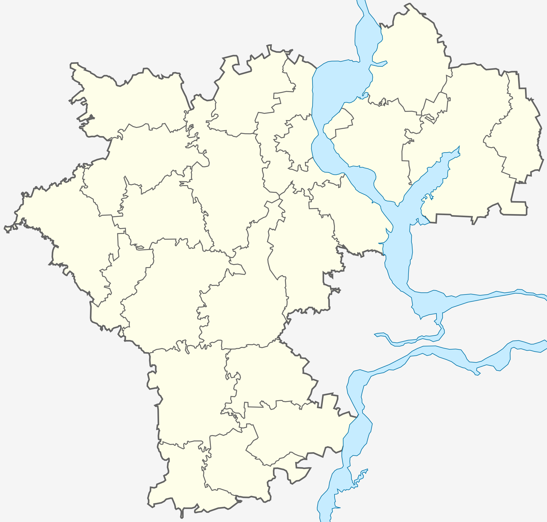
Русский: Позиционная карта Ульяновской области.
Создана на основе Схемы территориального планирования. |
| Date | |
| Source | Own work, на основе Схемы территориального планирования: http://ulgov.ru/docs/proykt-plan.jpg |
| Author | Nzeemin |
Licensing
I, the copyright holder of this work, hereby publish it under the following license:
This file is licensed under the Creative Commons Attribution-Share Alike 3.0 Unported license.
- You are free:
- to share – to copy, distribute and transmit the work
- to remix – to adapt the work
- Under the following conditions:
- attribution – You must give appropriate credit, provide a link to the license, and indicate if changes were made. You may do so in any reasonable manner, but not in any way that suggests the licensor endorses you or your use.
- share alike – If you remix, transform, or build upon the material, you must distribute your contributions under the same or compatible license as the original.
File history
Click on a date/time to view the file as it appeared at that time.
| Date/Time | Thumbnail | Dimensions | User | Comment | |
|---|---|---|---|---|---|
| current | 19:20, 18 January 2012 | | 3,501 × 3,342 (60 KB) | Nzeemin | Background |
| 18:04, 18 January 2012 |  | 3,501 × 3,342 (56 KB) | Nzeemin | Дорисована гидрография. | |
| 19:28, 17 January 2012 |  | 3,501 × 3,342 (66 KB) | Nzeemin |
File usage
The following pages on the English Wikipedia use this file (pages on other projects are not listed):
- 2014 Winter Olympics torch relay
- Akshuat dendropark
- Barysh
- Bazarny Syzgan
- Borok Island
- Cherdakly
- Chufarovo
- Cretaceous steppes with Caragana
- Dimitrovgrad, Russia
- Genko Forest Belt
- Glotovka
- Great Springs
- Ignatovka
- Imeni V. I. Lenina
- Inza, Russia
- Isheyevka, Ulyanovsk Oblast
- Izmaylovo, Ulyanovsk Oblast
- Karsun
- Krasny Gulyay
- Kuzovatovo (urban locality)
- Mayna, Ulyanovsk Oblast
- Mullovka
- Nikolayevka, Nikolayevsky District, Ulyanovsk Oblast
- Novaya Mayna
- Novospasskoye, Ulyanovsk Oblast
- Novoulyanovsk
- Pavlovka, Pavlovsky District, Ulyanovsk Oblast
- Radishchevo, Ulyanovsk Oblast
- Relic woods
- Sengiley
- Shakhovskoye, Ulyanovsk Oblast
- Silikatny
- Source of Sviyaga River
- Staraya Kulatka
- Staraya Mayna
- Starotimoshkino
- Surskoye
- Terenga
- The Mountain pine forest
- Tsemzavod
- Tsilna
- Ulyanovsk
- Ulyanovsk Baratayevka Airport
- Ulyanovsk Vostochny Airport
- Upper Jurassic deposits of Gorodishchi
- Veshkayma (urban locality)
- Volga Federal District
- Wood Pearl
- Yazykovo, Karsunsky District, Ulyanovsk Oblast
- Zhadovka
- Module:Location map/data/Russia Ulyanovsk Oblast
- Module:Location map/data/Russia Ulyanovsk Oblast/doc
Global file usage
The following other wikis use this file:
- Usage on af.wikipedia.org
- Usage on ar.wikipedia.org
- Usage on ceb.wikipedia.org
- Usage on el.wikipedia.org
- Usage on es.wikipedia.org
- Usage on fa.wikipedia.org
- Usage on incubator.wikimedia.org
- Usage on ja.wikipedia.org
- Usage on kn.wikipedia.org
- Usage on lv.wikipedia.org
- Usage on mn.wikipedia.org
- Usage on ru.wikipedia.org
- Usage on si.wikipedia.org
- Usage on sl.wikipedia.org
- Usage on smn.wikipedia.org
- Usage on tl.wikipedia.org
- Usage on tr.wikipedia.org
- Usage on ur.wikipedia.org
- Usage on uz.wikipedia.org
- Usage on war.wikipedia.org
- Usage on zh.wikipedia.org