
File:NZ-Motutapu.png
Size of this preview: 504 × 600 pixels. Other resolutions: 202 × 240 pixels | 589 × 701 pixels.
Original file (589 × 701 pixels, file size: 96 KB, MIME type: image/png)
| This is a file from the Wikimedia Commons. Information from its description page there is shown below. Commons is a freely licensed media file repository. You can help. |

|
This locator map image could be re-created using vector graphics as an SVG file. This has several advantages; see Commons:Media for cleanup for more information. If an SVG form of this image is available, please upload it and afterwards replace this template with
{{vector version available|new image name}}.
It is recommended to name the SVG file “NZ-Motutapu.svg”—then the template Vector version available (or Vva) does not need the new image name parameter. |
| |
This work has been released into the public domain by its author, Grutness, at the English Wikipedia project. This applies worldwide. In case this is not legally possible: |
.
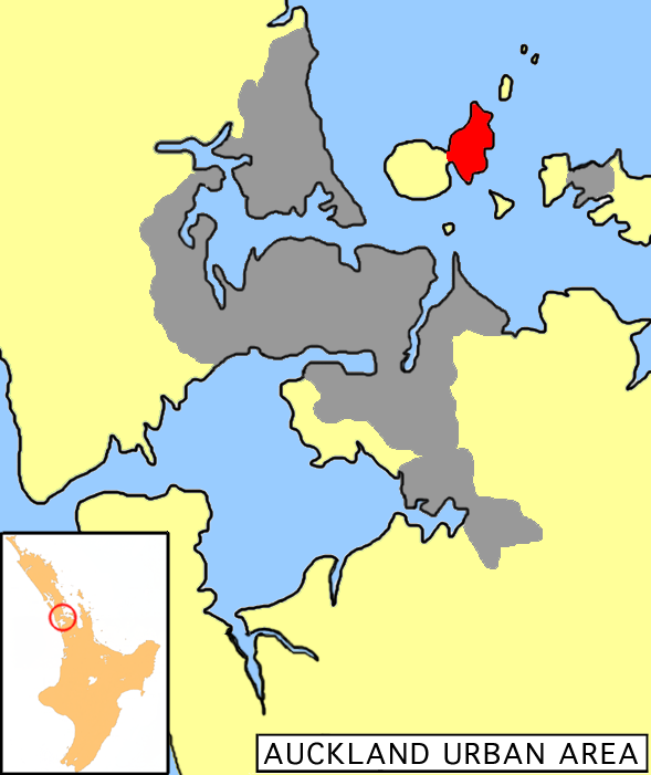
| Description | Location map of Motutapu Island, New Zealand |
| Date | |
| Source | own work of author |
| Author | Grutness |
File history
Click on a date/time to view the file as it appeared at that time.
| Date/Time | Thumbnail | Dimensions | User | Comment | |
|---|---|---|---|---|---|
| current | 17:46, 8 November 2007 | | 589 × 701 (96 KB) | Andy king50 | {{PD-user-w|en|english wikipedia|Grutness }}. {{Information |Description=Location map of Motutapu Island, New Zealand |Source= own work of author |Date= 12 December 2005 |Author=Grutness |other_versions= }} |
File usage
The following pages on the English Wikipedia use this file (pages on other projects are not listed):
Global file usage
The following other wikis use this file:
- Usage on de.wikipedia.org
- Usage on es.wikipedia.org
- Usage on fr.wikipedia.org
- Usage on ka.wikipedia.org
- Usage on nn.wikipedia.org
- Usage on pl.wikipedia.org
- Usage on ru.wikipedia.org