
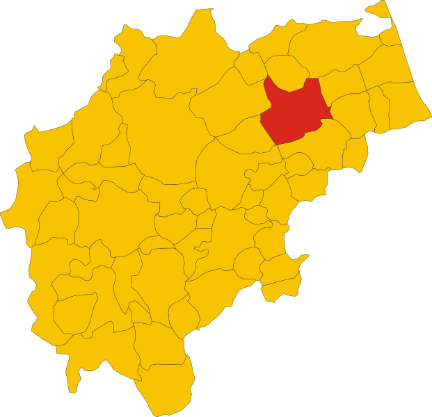
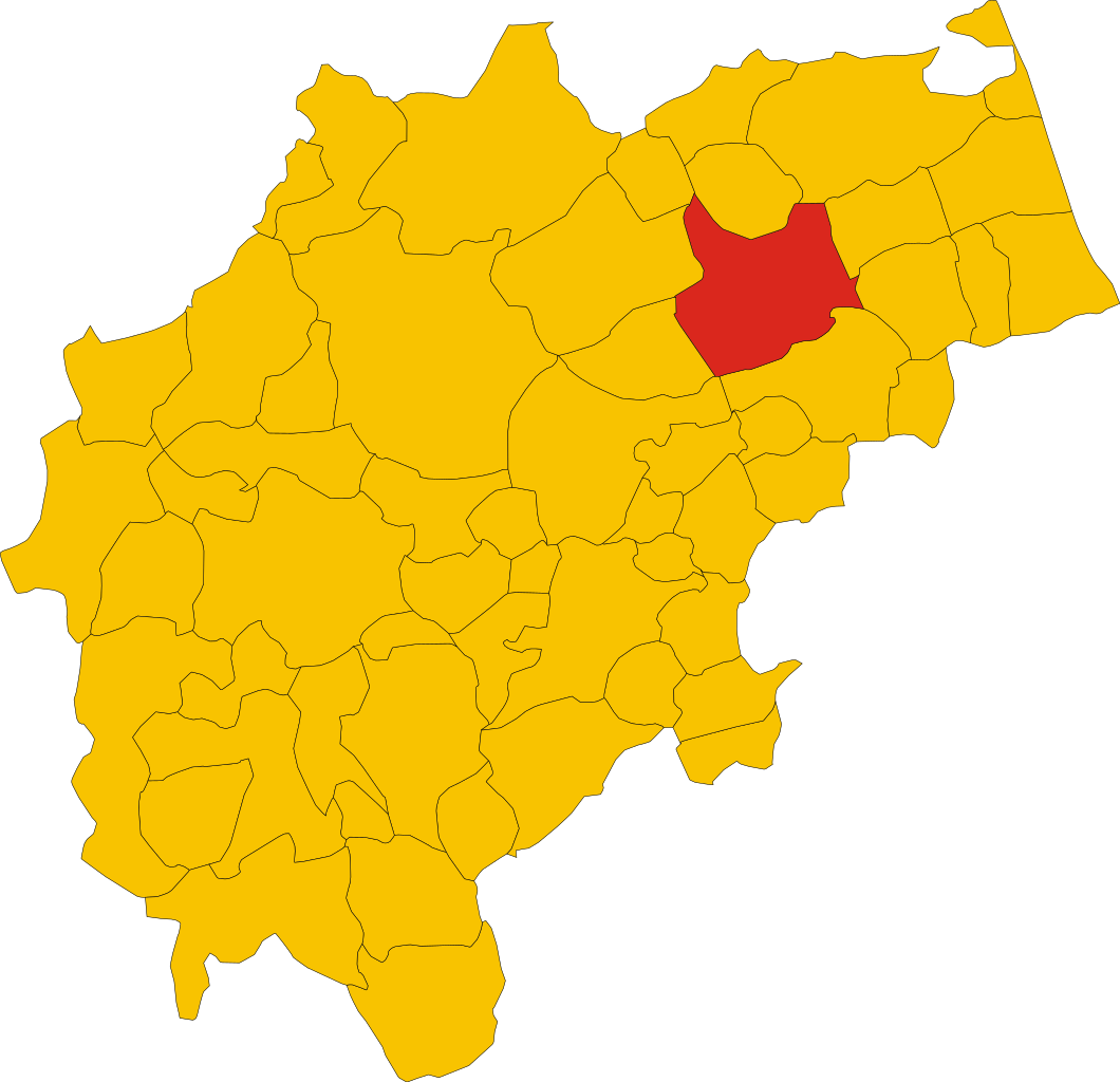
File:Map of comune of Macerata (province of Macerata, region Marche, Italy).svg

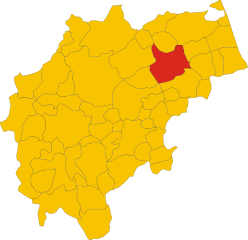
Size of this PNG preview of this SVG file: 621 × 600 pixels. Other resolutions: 248 × 240 pixels | 497 × 480 pixels | 795 × 768 pixels | 1,060 × 1,024 pixels | 2,120 × 2,048 pixels | 8,349 × 8,064 pixels.
Original file (SVG file, nominally 8,349 × 8,064 pixels, file size: 115 KB)
| This is a file from the Wikimedia Commons. Information from its description page there is shown below. Commons is a freely licensed media file repository. You can help. |
.svg)
Summary
| Description | |
| Date | |
| Source | Own work |
| Author | Vonvikken |
W3C-validity not checked.
Licensing
| This work has been released into the public domain by its author, Vonvikken. This applies worldwide. In some countries this may not be legally possible; if so: |
File history
Click on a date/time to view the file as it appeared at that time.
| Date/Time | Thumbnail | Dimensions | User | Comment | |
|---|---|---|---|---|---|
| current | 12:57, 10 April 2017 | | 8,349 × 8,064 (115 KB) | Krepideia | New municipality Valfornace and new boundaries of Fiastra. Valid svg |
| 23:24, 29 May 2011 |  | 8,349 × 8,064 (114 KB) | File Upload Bot (Vonvikken) | == {{int:filedesc}} == {{Information |Description={{DescrMapComuneItaly|Macerata|||MC}} |Source={{own}} |Author=Vonvikken |Date=2011-05-29 |Permission= }} {{Valid SVG}} == {{int:license}} == {{PD-user|Vonvikken}} | |
| 17:35, 29 May 2011 |  | 8,349 × 8,064 (114 KB) | File Upload Bot (Vonvikken) | == {{int:filedesc}} == {{Information |Description={{DescrMapComuneItaly|Macerata|||MC}} |Source={{own}} |Author=Vonvikken |Date=2011-05-29 |Permission= }} {{Valid SVG}} == {{int:license}} == {{PD-user|Vonvikken}} |
File usage
The following pages on the English Wikipedia use this file (pages on other projects are not listed):
Global file usage
The following other wikis use this file:
- Usage on ar.wikipedia.org
- Usage on arz.wikipedia.org
- Usage on ast.wikipedia.org
- Usage on azb.wikipedia.org
- Usage on br.wikipedia.org
- Usage on ca.wikipedia.org
- Usage on ceb.wikipedia.org
- Usage on diq.wikipedia.org
- Usage on el.wikipedia.org
- Usage on es.wikipedia.org
- Usage on et.wikipedia.org
- Usage on eu.wikipedia.org
- Usage on fa.wikipedia.org
- Usage on fr.wikipedia.org
- Usage on ga.wikipedia.org
- Usage on gl.wikipedia.org
- Usage on hu.wikipedia.org
- Usage on hy.wikipedia.org
- Usage on ia.wikipedia.org
- Usage on it.wikipedia.org
- Usage on ja.wikipedia.org
- Usage on la.wikipedia.org
- Usage on lmo.wikipedia.org
- Usage on pap.wikipedia.org
- Usage on pms.wikipedia.org
- Usage on ro.wikipedia.org
- Usage on simple.wikipedia.org
- Usage on smn.wikipedia.org
- Usage on sv.wikipedia.org
- Usage on tl.wikipedia.org
- Usage on tr.wikipedia.org
- Usage on tt.wikipedia.org
- Usage on ur.wikipedia.org
- Usage on vi.wikipedia.org
- Usage on www.wikidata.org
- Usage on zh-min-nan.wikipedia.org
.svg)