
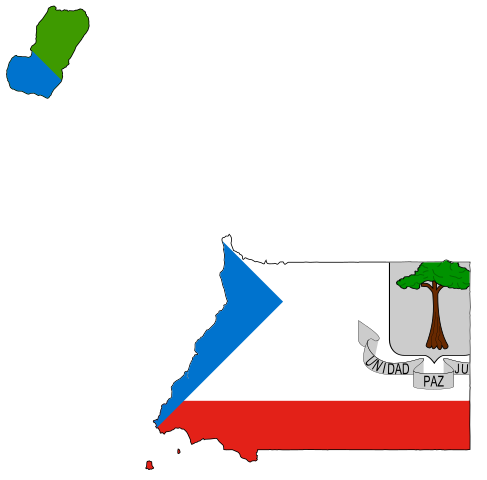
File:Flag-map of Equatorial Guinea.svg

Size of this PNG preview of this SVG file: 355 × 350 pixels. Other resolutions: 243 × 240 pixels | 487 × 480 pixels | 779 × 768 pixels | 1,039 × 1,024 pixels | 2,077 × 2,048 pixels.
Original file (SVG file, nominally 355 × 350 pixels, file size: 89 KB)
| This is a file from the Wikimedia Commons. Information from its description page there is shown below. Commons is a freely licensed media file repository. You can help. |
This W3C-unspecified vector image was created with Inkscape .
| Description | Flag-map of Equatorial Guinea |
| Source | Own work |
| Author | Darwinek |
I, the copyright holder of this work, hereby publish it under the following licenses:
This file is licensed under the Creative Commons Attribution-Share Alike 3.0 Unported license.
- You are free:
- to share – to copy, distribute and transmit the work
- to remix – to adapt the work
- Under the following conditions:
- attribution – You must give appropriate credit, provide a link to the license, and indicate if changes were made. You may do so in any reasonable manner, but not in any way that suggests the licensor endorses you or your use.
- share alike – If you remix, transform, or build upon the material, you must distribute your contributions under the same or compatible license as the original.

|
Permission is granted to copy, distribute and/or modify this document under the terms of the GNU Free Documentation License, Version 1.2 or any later version published by the Free Software Foundation; with no Invariant Sections, no Front-Cover Texts, and no Back-Cover Texts. A copy of the license is included in the section entitled GNU Free Documentation License. |
You may select the license of your choice.
File history
Click on a date/time to view the file as it appeared at that time.
| Date/Time | Thumbnail | Dimensions | User | Comment | |
|---|---|---|---|---|---|
| current | 00:13, 1 August 2022 | | 355 × 350 (89 KB) | FBryz | Reverted to version as of 23:51, 14 January 2016 (UTC); there is no sense in including tiny islands like Annobón, all they do is shrink the image and make the flag impossible to identify, especially at the size used in a stub footer |
| 04:27, 1 July 2021 |  | 1,147 × 1,049 (56 KB) | AridCeption | Reverted to version as of 04:07, 9 November 2019 (UTC) includes all territories such as Annobon as part of the country | |
| 11:22, 1 June 2021 |  | 355 × 350 (89 KB) | Dim Grits | original file | |
| 04:07, 9 November 2019 |  | 1,147 × 1,049 (56 KB) | Alphabet1234567890 | Reverted to version as of 22:36, 6 May 2017 (UTC) | |
| 16:27, 27 October 2018 |  | 355 × 350 (89 KB) | HansonPhan | Reverted to version as of 00:03, 16 January 2017 (UTC) | |
| 22:36, 6 May 2017 |  | 1,147 × 1,049 (56 KB) | Stasyan117 | Reverted to version as of 18:49, 5 April 2016 (UTC) | |
| 00:03, 16 January 2017 |  | 355 × 350 (89 KB) | Dim Grits | Reverted to version as of 23:51, 14 January 2016 (UTC) | |
| 18:49, 5 April 2016 |  | 1,147 × 1,049 (56 KB) | Stasyan117 | Reverted to version as of 21:43, 29 May 2015 (UTC) | |
| 23:51, 14 January 2016 |  | 355 × 350 (89 KB) | Dim Grits | Reverted to version as of 19:37, 15 March 2008 (UTC) | |
| 21:43, 29 May 2015 |  | 1,147 × 1,049 (56 KB) | Stasyan117 | Reduce |
File usage
The following pages on the English Wikipedia use this file (pages on other projects are not listed):
- Abaamang
- Abanayop
- Acalayong
- Acoacán
- Aconibe
- Acurenam
- Ayene
- Añisoc
- Baney
- Bicurga
- Bidjabidjan
- Bioko Sur
- Bitica
- Bolondo
- Centro Sur
- Cogo, Equatorial Guinea
- Corisco, Equatorial Guinea
- Djibloho
- Ebibeyin
- Elobey, Annobón, and Corisco
- Elobey Chico
- Elobey Grande
- Evinayong
- Kié-Ntem
- Litoral (Equatorial Guinea)
- Luba, Equatorial Guinea
- Machinda
- Mbere, Djibloho
- Mbini
- Mengomeyén
- Micomeseng
- Moka, Equatorial Guinea
- Mongomo
- Mount Biao
- Mount Fijelvingue
- Ncue
- Niefang
- Nsang
- Nsemensoc
- Nsok
- Nsok-Nsomo
- Pico Basilé
- Quioveo
- Rebola, Equatorial Guinea
- Riaba
- San Antonio de Ureca
- San Carlos (Equatorial Guinea)
- San Joaquin (Equatorial Guinea)
- Sipopo
- User:AridCeption
- Template:EquatorialGuinea-geo-stub
Global file usage
The following other wikis use this file:
- Usage on ar.wikipedia.org
- Usage on ar.wikinews.org
- Usage on ca.wikipedia.org
- Guinea Equatorial
- Teodoro Obiang Nguema
- Francisco Macías Nguema
- Mbini
- Literatura en castellà de Guinea Equatorial
- Bandera de la Guinea Equatorial
- Escut de la Guinea Equatorial
- President de Guinea Equatorial
- Història de Guinea Equatorial
- Illes de Guinea Equatorial
- Caminemos pisando las sendas de nuestra inmensa felicidad
- Organització territorial de Guinea Equatorial
- Llista de municipis de Guinea Equatorial
- Demografia de Guinea Equatorial
- Llengües de Guinea Equatorial
- Cambra dels Diputats de Guinea Equatorial
- Vicepresident de Guinea Equatorial
- Primer Ministre de Guinea Equatorial
- Llei Fonamental de Guinea Equatorial de 1991
- Consell de ministres de Guinea Equatorial
- Relacions internacionals de Guinea Equatorial
- Govern de Guinea Equatorial en l'Exili
- Drets humans a Guinea Equatorial
- Plantilla:Guinea Equatorial
- Forces Armades de Guinea Equatorial
- Presó Playa Negra
- Llista d'ecoregions de Guinea Equatorial
- Llista de rius de Guinea Equatorial
- Llista de volcans de Guinea Equatorial
- Geografia de Guinea Equatorial
- Política de Guinea Equatorial
- Drets del col·lectiu LGBT a Guinea Equatorial
- Economia de Guinea Equatorial
- Telecomunicacions a Guinea Equatorial
- Llista d'aeroports de Guinea Equatorial
- Transport a Guinea Equatorial
- Mitjans de comunicació de Guinea Equatorial
- Música de Guinea Equatorial
- Gastronomia de Guinea Equatorial
- Educació a Guinea Equatorial
- Llista de ciutats de Guinea Equatorial
- Indústria minaire de Guinea Equatorial
- Intent de cop d'estat a Guinea Equatorial de 2004
- Comerç atlàntic d'esclaus
- Catolicisme a Guinea Equatorial
- Llista d'empreses de Guinea Equatorial
- Eleccions a Guinea Equatorial
View more global usage of this file.