
File:Cwmystwyth-by-Nigel-Brown.jpg
Size of this preview: 800 × 535 pixels. Other resolutions: 320 × 214 pixels | 640 × 428 pixels | 1,024 × 685 pixels.
Original file (1,024 × 685 pixels, file size: 928 KB, MIME type: image/jpeg)
| This is a file from the Wikimedia Commons. Information from its description page there is shown below. Commons is a freely licensed media file repository. You can help. |
| Description |
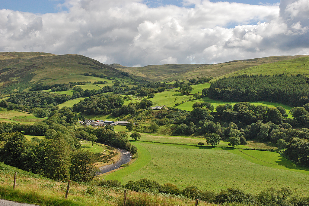
English: A view of Cwmystwyth looking across the only significant flat area of the cwm to be found before the river reaches maturity near Trawscoed some 6 miles further west. Beyond, steep slopes rise to the Elenydd moors. Opposite is the cwm of the Nant Milwyn, at the head of which is the small but distinctive hill of Domen Milwyn. |
||
| Date | |||
| Source | From geograph.org.uk | ||
| Author | Nigel Brown | ||
| Permission (Reusing this file) |
This file is licensed under the Creative Commons Attribution-Share Alike 2.0 Generic license. Attribution: Nigel Brown
|

| Camera location | | View this and other nearby images on: OpenStreetMap |
|---|
File history
Click on a date/time to view the file as it appeared at that time.
| Date/Time | Thumbnail | Dimensions | User | Comment | |
|---|---|---|---|---|---|
| current | 16:26, 30 August 2020 | | 1,024 × 685 (928 KB) | Geograph Update Bot | Higher-resolution version from Geograph. |
| 01:15, 14 September 2008 |  | 640 × 428 (106 KB) | Kapohogrrl | {{Information |Description=A view of Cwmystwyth looking across the only significant flat area of the cwm to be found before the river reaches maturity near Trawscoed some 6 miles further west. Beyond, steep slopes rise to the Elenydd moors. Opposite is th |
File usage
The following pages on the English Wikipedia use this file (pages on other projects are not listed):
Global file usage
The following other wikis use this file:
- Usage on br.wikipedia.org
- Usage on cy.wikipedia.org
- Usage on eu.wikipedia.org
- Usage on www.wikidata.org