
File:CumminsVarnerAerialView.PNG

Size of this preview: 800 × 499 pixels. Other resolutions: 320 × 200 pixels | 640 × 399 pixels | 1,024 × 639 pixels | 1,624 × 1,013 pixels.
Original file (1,624 × 1,013 pixels, file size: 1.76 MB, MIME type: image/png)
| This is a file from the Wikimedia Commons. Information from its description page there is shown below. Commons is a freely licensed media file repository. You can help. |
Summary
| Description |
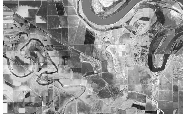
Español: Fotografía aérea de las unidades Cummins y Varner |
| Date | |
| Source |
USGS The National Map, via MSR Maps (formerly TerraServer-USA) |
| Author |
English: United States Geological Survey (USGS) Español: Servicio Geológico de los Estados Unidos |
| Permission (Reusing this file) |
Public domain |
Licensing
This image is in the public domain in the United States because it only contains materials that originally came from the United States Geological Survey, an agency of the United States Department of the Interior. For more information, see the official USGS copyright policy.
|
File history
Click on a date/time to view the file as it appeared at that time.
| Date/Time | Thumbnail | Dimensions | User | Comment | |
|---|---|---|---|---|---|
| current | 23:42, 6 March 2011 | | 1,624 × 1,013 (1.76 MB) | WhisperToMe | {{Information |Description ={{en|1=Aerial view of the Cummins and Varner units}} {{es|1=Fotografía aérea de las unidades ''Cummins'' y ''Varner''}} |Source =http://msrmaps.com/image.aspx?T=1&S=13&Z=15& |
File usage
The following pages on the English Wikipedia use this file (pages on other projects are not listed):