
File:Crossharbour DLR and Millwall Docks railway station (site), London (geograph 5981734).jpg
Size of this preview: 800 × 600 pixels. Other resolutions: 320 × 240 pixels | 640 × 480 pixels | 1,024 × 768 pixels | 1,280 × 960 pixels | 1,600 × 1,200 pixels.
Original file (1,600 × 1,200 pixels, file size: 344 KB, MIME type: image/jpeg)
| This is a file from the Wikimedia Commons. Information from its description page there is shown below. Commons is a freely licensed media file repository. You can help. |
,_London_(geograph_5981734).jpg)
Summary
| Description |
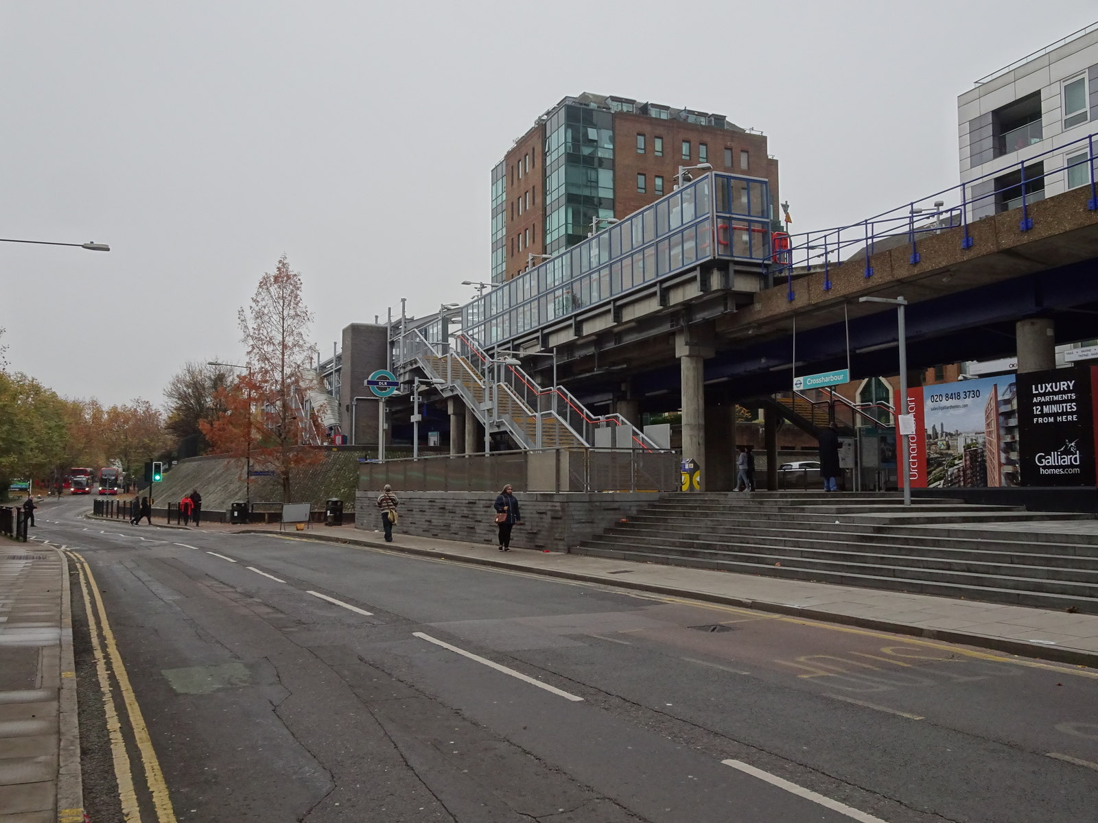
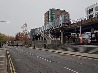
English: Crossharbour DLR and Millwall Docks railway station (site), London Crossharbour station was opened by the Docklands Light Railway in 1987 on what is now the line from Docklands to Lewisham. It is built on the site of the London & Blackwall Railway's Millwall Docks station which opened in 1871 as a single wooden platform, and closed in 1926. At that time, the line was a single track branch to North Greenwich, which is almost next to Island Gardens DLR station. View south towards Mudshute and Lewisham. |
| Date | |
| Source | From geograph.org.uk |
| Author | Nigel Thompson |
| Permission (Reusing this file) |
Creative Commons Attribution Share-alike license 2.0 |
| Attribution (required by the license) | Nigel Thompson / Crossharbour DLR and Millwall Docks railway station (site), London / |
| Camera location | | View this and other nearby images on: OpenStreetMap |
|---|
,_London_(geograph_5981734).jpg¶ms=051.496624_N_-000.013977_E_globe:Earth_type:camera_source:geograph-osgb36(TQ37967939)_heading:202.00&language=en)
| Object location | | View this and other nearby images on: OpenStreetMap |
|---|
,_London_(geograph_5981734).jpg¶ms=051.496090_N_-000.014290_E_globe:Earth_class:object_type:object_source:geograph-osgb36(TQ37947933)_heading:202.00&language=en)
Licensing

|
This image was taken from the Geograph project collection. See this photograph's page on the Geograph website for the photographer's contact details. The copyright on this image is owned by Nigel Thompson and is licensed for reuse under the Creative Commons Attribution-ShareAlike 2.0 license.
|
This file is licensed under the Creative Commons Attribution-Share Alike 2.0 Generic license.
Attribution: Nigel Thompson
- You are free:
- to share – to copy, distribute and transmit the work
- to remix – to adapt the work
- Under the following conditions:
- attribution – You must give appropriate credit, provide a link to the license, and indicate if changes were made. You may do so in any reasonable manner, but not in any way that suggests the licensor endorses you or your use.
- share alike – If you remix, transform, or build upon the material, you must distribute your contributions under the same or compatible license as the original.
File history
Click on a date/time to view the file as it appeared at that time.
| Date/Time | Thumbnail | Dimensions | User | Comment | |
|---|---|---|---|---|---|
| current | 17:42, 1 January 2020 | | 1,600 × 1,200 (344 KB) | Lamberhurst | Transferred from geograph.co.uk using [https://tools.wmflabs.org/geograph2commons/ geograph2commons] |
File usage
The following pages on the English Wikipedia use this file (pages on other projects are not listed):
Global file usage
The following other wikis use this file:
- Usage on fr.wikipedia.org
,_London_(geograph_5981734).jpg)