
File:Bretagne les remparts de Vannes.jpg
Size of this preview: 800 × 531 pixels. Other resolutions: 320 × 213 pixels | 640 × 425 pixels | 1,024 × 680 pixels | 1,280 × 850 pixels | 2,560 × 1,701 pixels | 4,191 × 2,784 pixels.
Original file (4,191 × 2,784 pixels, file size: 7.87 MB, MIME type: image/jpeg)
| This is a file from the Wikimedia Commons. Information from its description page there is shown below. Commons is a freely licensed media file repository. You can help. |
Summary
| Description |
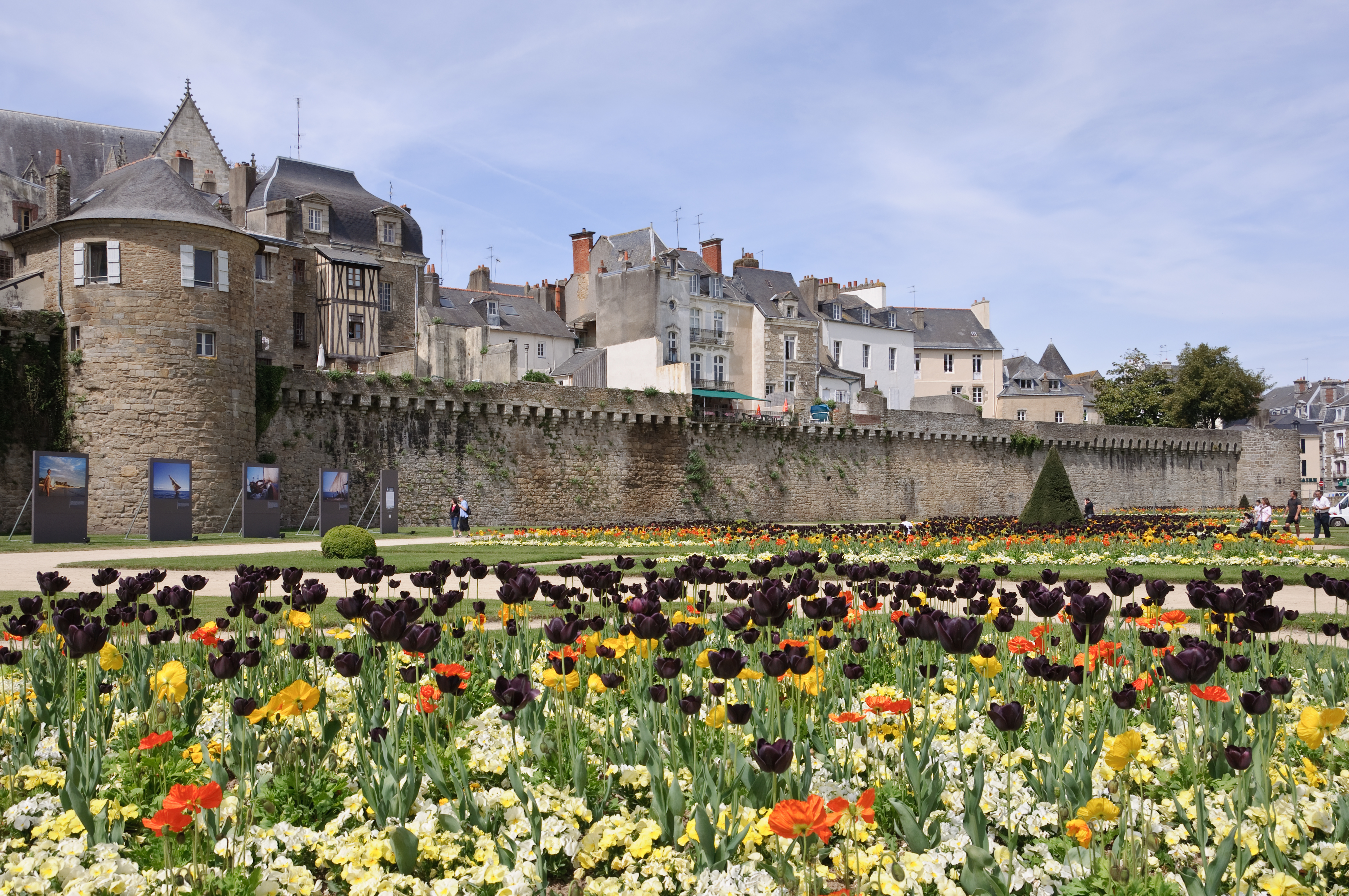
Français : Les remparts de Vannes (Morbihan, France), de la tour Poudrière à la tour Joliette, durant le festival Photo de Mer au printemps 2010.
English: City walls of Vannes, Morbihan, France, from tour Poudrière (= "Powder magazine Tower") to tour Joliette (="Joliette Tower"), during the "Photo de mer" festival in spring 2010. |
| Date | |
| Source | Own work |
| Author | Myrabella |
| Attribution (required by the license) | Photo: Myrabella / Wikimedia Commons / |
| Camera location | | View this and other nearby images on: OpenStreetMap |
|---|
This image has been assessed using the Quality image guidelines and is considered a Quality image.
|
Licensing
I, the copyright holder of this work, hereby publish it under the following license:
This file is licensed under the Creative Commons Attribution-Share Alike 3.0 Unported license.
- You are free:
- to share – to copy, distribute and transmit the work
- to remix – to adapt the work
- Under the following conditions:
- attribution – You must give appropriate credit, provide a link to the license, and indicate if changes were made. You may do so in any reasonable manner, but not in any way that suggests the licensor endorses you or your use.
- share alike – If you remix, transform, or build upon the material, you must distribute your contributions under the same or compatible license as the original.
File history
Click on a date/time to view the file as it appeared at that time.
| Date/Time | Thumbnail | Dimensions | User | Comment | |
|---|---|---|---|---|---|
| current | 05:49, 6 February 2011 | | 4,191 × 2,784 (7.87 MB) | Myrabella | == {{int:filedesc}} == {{Information |Description= {{fr|1=Les remparts de Vannes (Morbihan, France), de la tour Poudrière à la tour Joliette}} {{en|1=City walls of Vannes, Morbihan, France, from ''tour Poudrière |
File usage
The following pages on the English Wikipedia use this file (pages on other projects are not listed):
Global file usage
The following other wikis use this file:
- Usage on azb.wikipedia.org
- Usage on bo.wikipedia.org
- Usage on br.wikipedia.org
- Usage on de.wikipedia.org
- Usage on eu.wikipedia.org
- Usage on fa.wikivoyage.org
- Usage on fr.wikipedia.org
- Usage on he.wikipedia.org
- Usage on hu.wikipedia.org
- Usage on it.wikipedia.org
- Usage on ja.wikipedia.org
- Usage on mk.wikipedia.org
- Usage on nl.wikipedia.org
- Usage on pl.wikipedia.org
- Usage on pl.wiktionary.org
- Usage on pms.wikipedia.org
- Usage on pt.wikipedia.org
- Usage on sl.wikipedia.org
- Usage on sq.wikipedia.org
- Usage on uk.wikipedia.org
- Usage on vi.wikipedia.org