
File:Brazil Rondonia location map.svg

Size of this PNG preview of this SVG file: 715 × 600 pixels. Other resolutions: 286 × 240 pixels | 572 × 480 pixels | 916 × 768 pixels | 1,221 × 1,024 pixels | 2,442 × 2,048 pixels | 819 × 687 pixels.
Original file (SVG file, nominally 819 × 687 pixels, file size: 331 KB)
| This is a file from the Wikimedia Commons. Information from its description page there is shown below. Commons is a freely licensed media file repository. You can help. |
| Description |
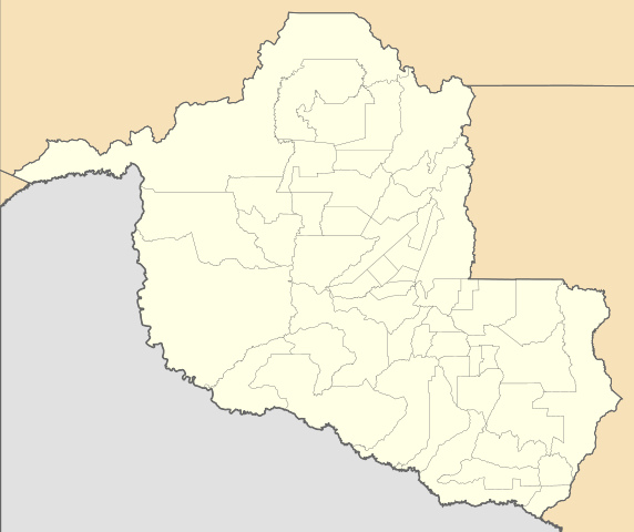
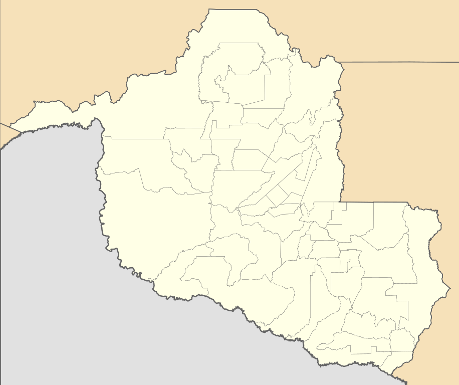
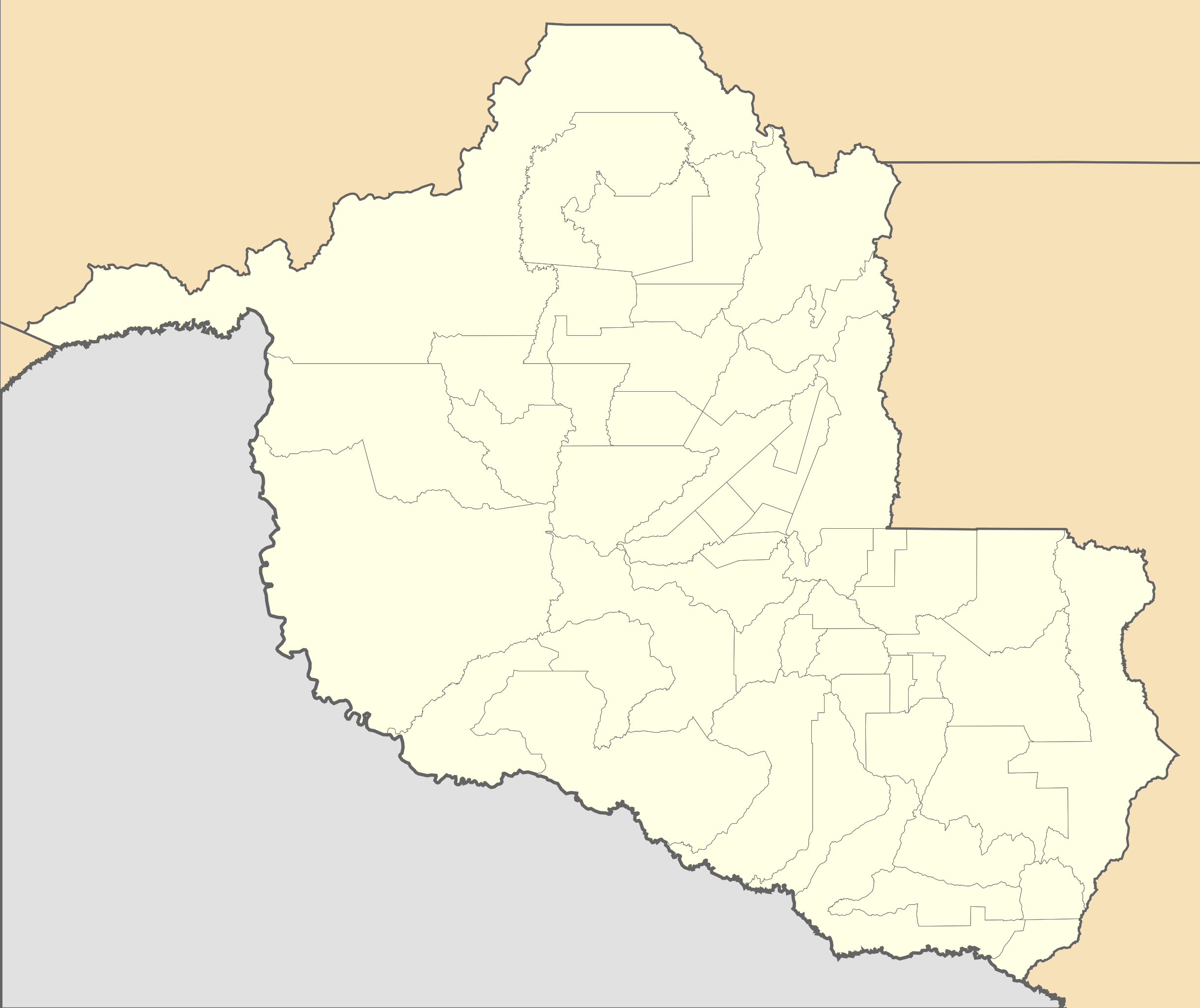
Location map of Rondônia state. Geographic limits of the map:
|
| Date | (UTC) |
| Source | |
| Author |
|
I, the copyright holder of this work, hereby publish it under the following licenses:
This file is licensed under the Creative Commons Attribution 2.5 Generic license.
- You are free:
- to share – to copy, distribute and transmit the work
- to remix – to adapt the work
- Under the following conditions:
- attribution – You must give appropriate credit, provide a link to the license, and indicate if changes were made. You may do so in any reasonable manner, but not in any way that suggests the licensor endorses you or your use.
| This file is licensed under the Creative Commons Attribution-Share Alike 3.0 Unported license. | ||
| ||
| This licensing tag was added to this file as part of the GFDL licensing update. |

|
Permission is granted to copy, distribute and/or modify this document under the terms of the GNU Free Documentation License, Version 1.2 or any later version published by the Free Software Foundation; with no Invariant Sections, no Front-Cover Texts, and no Back-Cover Texts. A copy of the license is included in the section entitled GNU Free Documentation License. |
You may select the license of your choice.
Uploaded with derivativeFX
File history
Click on a date/time to view the file as it appeared at that time.
| Date/Time | Thumbnail | Dimensions | User | Comment | |
|---|---|---|---|---|---|
| current | 13:04, 2 February 2020 | | 819 × 687 (331 KB) | Milenioscuro | updated limits of municipalities of Costa Marques, São Francisco do Guaporé, Seringueiras, São Miguel do Guaporé and Nova Brasilândia d'Oeste acording to IBGE data |
| 01:08, 14 August 2011 |  | 819 × 687 (341 KB) | Milenioscuro | {{Information |Description=Location map of Rondônia state |Source=*File:Rondonia_MesoMicroMunicip.svg |Date=2011-08-14 01:07 (UTC) |Author=*File:Rondonia_MesoMicroMunicip.svg: Raphael Lorenzeto de Abreu *derivative work: ~~~ |Permission= |oth |
File usage
The following pages on the English Wikipedia use this file (pages on other projects are not listed):
- 2014 Rondônia gubernatorial election
- 2023 Campeonato Rondoniense
- Ariquemes Airport
- Cacoal Airport
- Governador Jorge Teixeira de Oliveira International Airport
- Ji-Paraná Airport
- Man of the Hole
- Pimenta Bueno Airport
- Porto Velho Air Force Base
- Vilhena Airport
- User:Diego Alexandre Ribeiro Paixão/sandbox
- Module:Location map/data/Brazil Rondônia
- Module:Location map/data/Brazil Rondônia/doc
Global file usage
The following other wikis use this file:
- Usage on de.wikipedia.org
- Usage on es.wikipedia.org
- Usage on fr.wikipedia.org
- Porto Velho
- Guajará-Mirim
- Jaru
- Wikipédia:Atelier modèle de géolocalisation
- Alta Floresta d'Oeste
- Alvorada D'Oeste
- Alto Alegre dos Parecis
- Alto Paraíso (Rondônia)
- Buritis (Rondônia)
- Cabixi
- Cacaulândia
- Campo Novo de Rondônia
- Candeias do Jamari
- Cerejeiras
- Chupinguaia
- Corumbiara
- Costa Marques
- Cujubim
- Espigão d'Oeste
- Governador Jorge Teixeira
- Itapuã do Oeste
- Machadinho d'Oeste
- Ministro Andreazza
- Mirante da Serra
- Monte Negro
- Nova Brasilândia D'Oeste
- Nova Mamoré
- Nova União
- Novo Horizonte do Oeste
- Ouro Preto do Oeste
- Parecis
- Pimenta Bueno
- Pimenteiras do Oeste
- Presidente Médici (Rondônia)
- Primavera de Rondônia
- Rio Crespo
- Rolim de Moura
- Santa Luzia d'Oeste
- São Felipe d'Oeste
- São Francisco do Guaporé
- São Miguel do Guaporé
- Seringueiras
- Teixeirópolis
- Theobroma (Rondônia)
View more global usage of this file.