
File:6269Marikina Heights Metro Manila Landmarks 45.jpg
Size of this preview: 800 × 600 pixels. Other resolutions: 320 × 240 pixels | 640 × 480 pixels | 1,024 × 768 pixels | 1,280 × 960 pixels | 2,560 × 1,920 pixels | 4,608 × 3,456 pixels.
Original file (4,608 × 3,456 pixels, file size: 6.07 MB, MIME type: image/jpeg)
| This is a file from the Wikimedia Commons. Information from its description page there is shown below. Commons is a freely licensed media file repository. You can help. |
Summary
| Description |
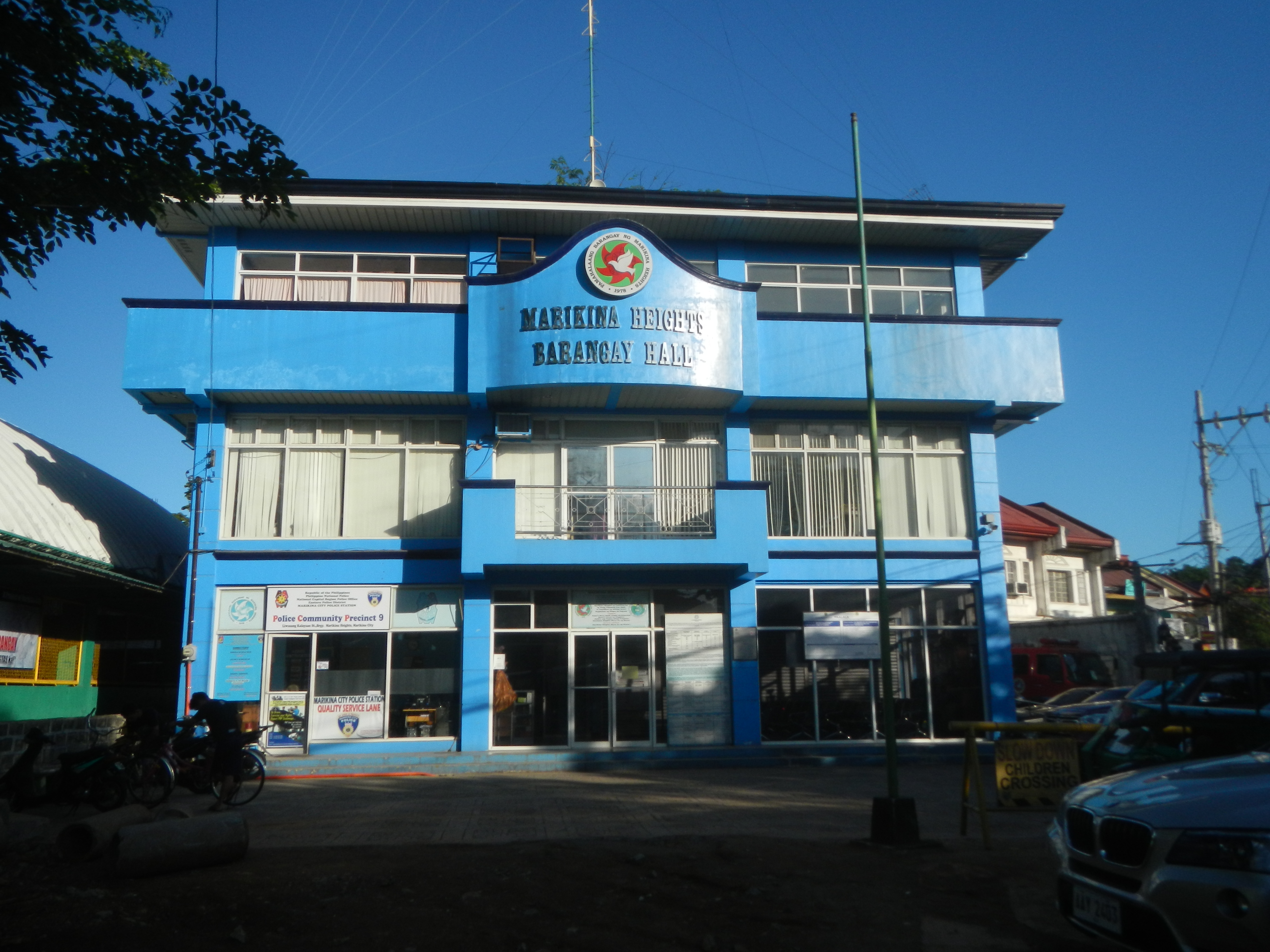
English: From East Drive and Narra Streets towards Marikina-Yeongdo friendship park - Marikorea Monument (Marikina Heights) C & B Circle Mall (Marikina Heights) Evolution Park (Marikina) Liwasang Kalayaan List of barangays of Metro Manila, Barangays of Marikina
Barangays Marikina Heights 14°39'5"N 121°7'12"E Marikina Heights Concepcion Uno 14°39'10"N 121°6'22"E and beside Concepcion Dos 14°38'28"N 121°7'9"E Tumana 14°39'30"N 121°5'48"E Fortune 14°39'28"N 121°7'37"E Marikina City along Bayan-Bayanan Avenue 14°39'3"N 121°6'29"E from Sumulong Highway and Marikina–Infanta Highway Marcos Highway or MARILAQUE Highway or Manila-Rizal-Laguna-Quezon (Note: Judge Florentino Floro, the owner, to repeat, Donor Florentino Floro of all these photos hereby donate gratuitously, freely and unconditionally all these photos to and for Wikimedia Commons, exclusively, for public use of the public domain, and again without any condition whatsoever). |
| Date | |
| Source | Own work |
| Author | Judgefloro |
| Camera location | | View this and other nearby images on: OpenStreetMap |
|---|
Marikina Heights 14°39'5"N 121°7'12"E
Licensing
I, the copyright holder of this work, hereby publish it under the following license:
| This file is made available under the Creative Commons CC0 1.0 Universal Public Domain Dedication. | |
| The person who associated a work with this deed has dedicated the work to the public domain by waiving all of their rights to the work worldwide under copyright law, including all related and neighboring rights, to the extent allowed by law. You can copy, modify, distribute and perform the work, even for commercial purposes, all without asking permission.
|
File history
Click on a date/time to view the file as it appeared at that time.
| Date/Time | Thumbnail | Dimensions | User | Comment | |
|---|---|---|---|---|---|
| current | 14:30, 7 April 2018 | | 4,608 × 3,456 (6.07 MB) | Judgefloro | User created page with UploadWizard |
File usage
The following pages on the English Wikipedia use this file (pages on other projects are not listed):