
File:5e Arrondissement, Paris, France - Open Street Map.png

Size of this preview: 669 × 600 pixels. Other resolutions: 268 × 240 pixels | 535 × 480 pixels | 857 × 768 pixels | 1,227 × 1,100 pixels.
Original file (1,227 × 1,100 pixels, file size: 1.88 MB, MIME type: image/png)
| This is a file from the Wikimedia Commons. Information from its description page there is shown below. Commons is a freely licensed media file repository. You can help. |
Summary
| Description |
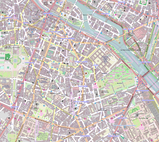
English: Map Paris 5th arrondissement. |
| Date | |
| Source | OpenStreetMap |
| Author | OpenStreetMap contributors |
Licensing
This file is licensed under the Creative Commons Attribution-Share Alike 2.5 Generic license.
- You are free:
- to share – to copy, distribute and transmit the work
- to remix – to adapt the work
- Under the following conditions:
- attribution – You must give appropriate credit, provide a link to the license, and indicate if changes were made. You may do so in any reasonable manner, but not in any way that suggests the licensor endorses you or your use.
- share alike – If you remix, transform, or build upon the material, you must distribute your contributions under the same or compatible license as the original.
File history
Click on a date/time to view the file as it appeared at that time.
| Date/Time | Thumbnail | Dimensions | User | Comment | |
|---|---|---|---|---|---|
| current | 16:54, 7 December 2015 | | 1,227 × 1,100 (1.88 MB) | Spiridon Ion Cepleanu | Campus Curie et MNHN |
| 23:25, 29 March 2014 |  | 1,227 × 1,100 (1.76 MB) | Poulpy | User created page with UploadWizard |
File usage
The following pages on the English Wikipedia use this file (pages on other projects are not listed):
Global file usage
The following other wikis use this file:
- Usage on ar.wikipedia.org
- Usage on fa.wikipedia.org
- Usage on fr.wikipedia.org
- Musée de Cluny
- Jardin des plantes de Paris
- Institut du monde arabe
- Muséum national d'histoire naturelle
- Université Pierre-et-Marie-Curie
- Arènes de Lutèce
- Jardin royal des plantes médicinales
- Lycée Louis-le-Grand
- Rue du Cardinal-Lemoine
- Campus Pierre-et-Marie-Curie (Jussieu)
- Rue Poliveau
- Bibliothèque Sainte-Geneviève
- Rue d'Ulm
- Musée Dupuytren
- Collège de Beauvais
- Rue Mouffetard
- Église Saint-Benoît-le-Bétourné
- Hôpital de la Collégiale
- Rue Pierre-et-Marie-Curie
- Rue du Chat-qui-Pêche
- Église Saint-Jacques-du-Haut-Pas
- Rue Saint-Jacques (Paris)
- Rue des Trois-Portes
- Place de l'Abbé-Basset
- Rue de l'Abbé-de-L'Épée (Paris)
- Square Adanson
- Rue Monge
- École polytechnique universitaire de Sorbonne Université
- Église Saint-Médard de Paris
- Rue Laplace
- Collège des Bernardins
- Rue Linné (Paris)
- Rue Clovis
- Rue Descartes (Paris)
- Rue de la Huchette
- Bibliothèque Cujas
- Rue Lagrange
- Rue Frédéric-Sauton
- Rue de la Bûcherie
- Rue Saint-Julien-le-Pauvre
- Rue Galande
- Rue des Anglais
- Ménagerie du Jardin des plantes
- Rue Buffon (Paris)
- Galerie de Paléontologie et d'Anatomie comparée
- Rue de la Montagne-Sainte-Geneviève
- Rue Soufflot (Paris)
- Rue de la Sorbonne
View more global usage of this file.