
File:USDOT FHWA NHS Yauco, Puerto Rico map.jpg

Size of this preview: 800 × 598 pixels. Other resolutions: 320 × 239 pixels | 640 × 478 pixels | 1,024 × 765 pixels | 1,280 × 956 pixels | 2,592 × 1,936 pixels.
Original file (2,592 × 1,936 pixels, file size: 329 KB, MIME type: image/jpeg)
| This is a file from the Wikimedia Commons. Information from its description page there is shown below. Commons is a freely licensed media file repository. You can help. |
Summary
| Description |
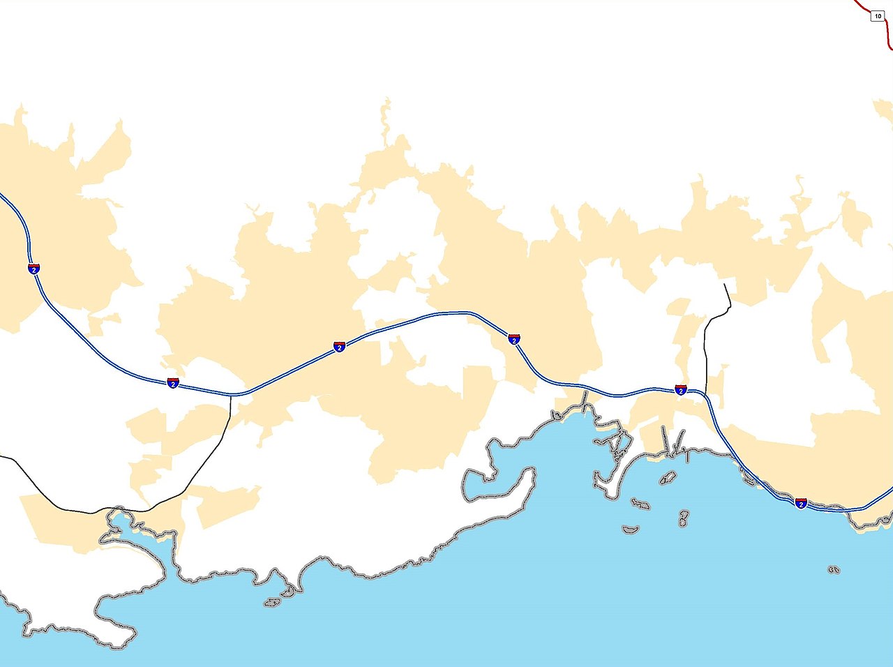
English: USDOT FHWA NHS map of PRI-2 tthrough Yauco, Puerto Rico |
| Date | |
| Source | https://www.fhwa.dot.gov/planning/national_highway_system/nhs_maps/puerto_rico/ |
| Author | USDOT FHWA |
Licensing
| This image is a work of a United States Department of Transportation employee, taken or made as part of that person's official duties. As a work of the U.S. federal government, the image is in the public domain. |
File history
Click on a date/time to view the file as it appeared at that time.
| Date/Time | Thumbnail | Dimensions | User | Comment | |
|---|---|---|---|---|---|
| current | 04:34, 10 March 2020 | | 2,592 × 1,936 (329 KB) | The Eloquent Peasant | cropped |
| 04:04, 10 March 2020 |  | 3,344 × 2,200 (630 KB) | The Eloquent Peasant | Uploaded a work by USDOT FHWA from https://www.fhwa.dot.gov/planning/national_highway_system/nhs_maps/puerto_rico/ with UploadWizard |
File usage
The following pages on the English Wikipedia use this file (pages on other projects are not listed):