
File:The Plough, West Hanney.jpg
No higher resolution available.
The_Plough,_West_Hanney.jpg (586 × 548 pixels, file size: 109 KB, MIME type: image/jpeg)
| This is a file from the Wikimedia Commons. Information from its description page there is shown below. Commons is a freely licensed media file repository. You can help. |
| Description |
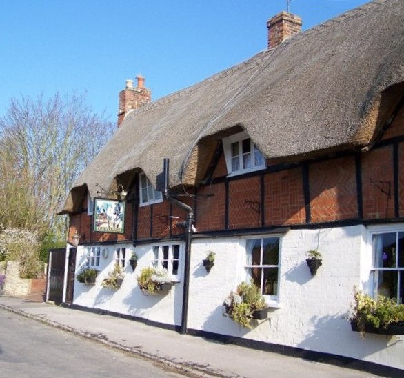
English: The Plough public house, Church Street, West Hanney, Oxfordshire (formerly Berkshire) |
| Date | |
| Source |
This file was derived from: The Plough, West Hanney - geograph.org.uk - 770965.jpg |
| Author |
|
| Camera location | | View this and other nearby images on: OpenStreetMap |
|---|
_region:GB-ENG_heading:337.00&language=en)
| Object location | | View this and other nearby images on: OpenStreetMap |
|---|
_region:GB-ENG_heading:337.00&language=en)
| This is a retouched picture, which means that it has been digitally altered from its original version. Modifications: Straightened image. The original can be viewed here: The Plough, West Hanney - geograph.org.uk - 770965.jpg:
|
This file is licensed under the Creative Commons Attribution-Share Alike 2.0 Generic license.
Attribution: Trish Steel
- You are free:
- to share – to copy, distribute and transmit the work
- to remix – to adapt the work
- Under the following conditions:
- attribution – You must give appropriate credit, provide a link to the license, and indicate if changes were made. You may do so in any reasonable manner, but not in any way that suggests the licensor endorses you or your use.
- share alike – If you remix, transform, or build upon the material, you must distribute your contributions under the same or compatible license as the original.
Original upload log
This image is a derivative work of the following images:
- File:The_Plough,_West_Hanney_-_geograph.org.uk_-_770965.jpg licensed with Cc-by-sa-2.0, Geograph
- 2011-02-19T23:21:14Z GeographBot 640x579 (116185 Bytes) == {{int:filedesc}} == {{Information |description={{en|1=The Plough, West Hanney}} |date=2008-04-14 |source=From [http://www.geograph.org.uk/photo/770965 geograph.org.uk] |author=[http://www.geograph.org.uk/profile/9274 Trish
Uploaded with derivativeFX
File history
Click on a date/time to view the file as it appeared at that time.
| Date/Time | Thumbnail | Dimensions | User | Comment | |
|---|---|---|---|---|---|
| current | 13:15, 29 July 2011 | | 586 × 548 (109 KB) | Hogweard | {{Information |Description={{en|1=The Plough, West Hanney}} |date=2008-04-14 |Source=*File:The_Plough,_West_Hanney_-_geograph.org.uk_-_770965.jpg |Date=2011-07-29 13:14 (UTC) |Author=*File:The_Plough,_West_Hanney_-_geograph.org.uk_-_770965.jpg |
File usage
The following pages on the English Wikipedia use this file (pages on other projects are not listed):
Global file usage
The following other wikis use this file:
- Usage on www.wikidata.org