
File:State Routes 154 and 170 in Negley.jpg

Size of this preview: 800 × 600 pixels. Other resolutions: 320 × 240 pixels | 640 × 480 pixels | 1,024 × 768 pixels | 1,280 × 960 pixels | 2,560 × 1,920 pixels | 2,816 × 2,112 pixels.
Original file (2,816 × 2,112 pixels, file size: 2.34 MB, MIME type: image/jpeg)
| This is a file from the Wikimedia Commons. Information from its description page there is shown below. Commons is a freely licensed media file repository. You can help. |
| Camera location | | View this and other nearby images on: OpenStreetMap |
|---|
| Description |
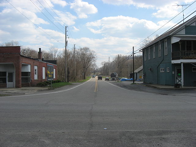
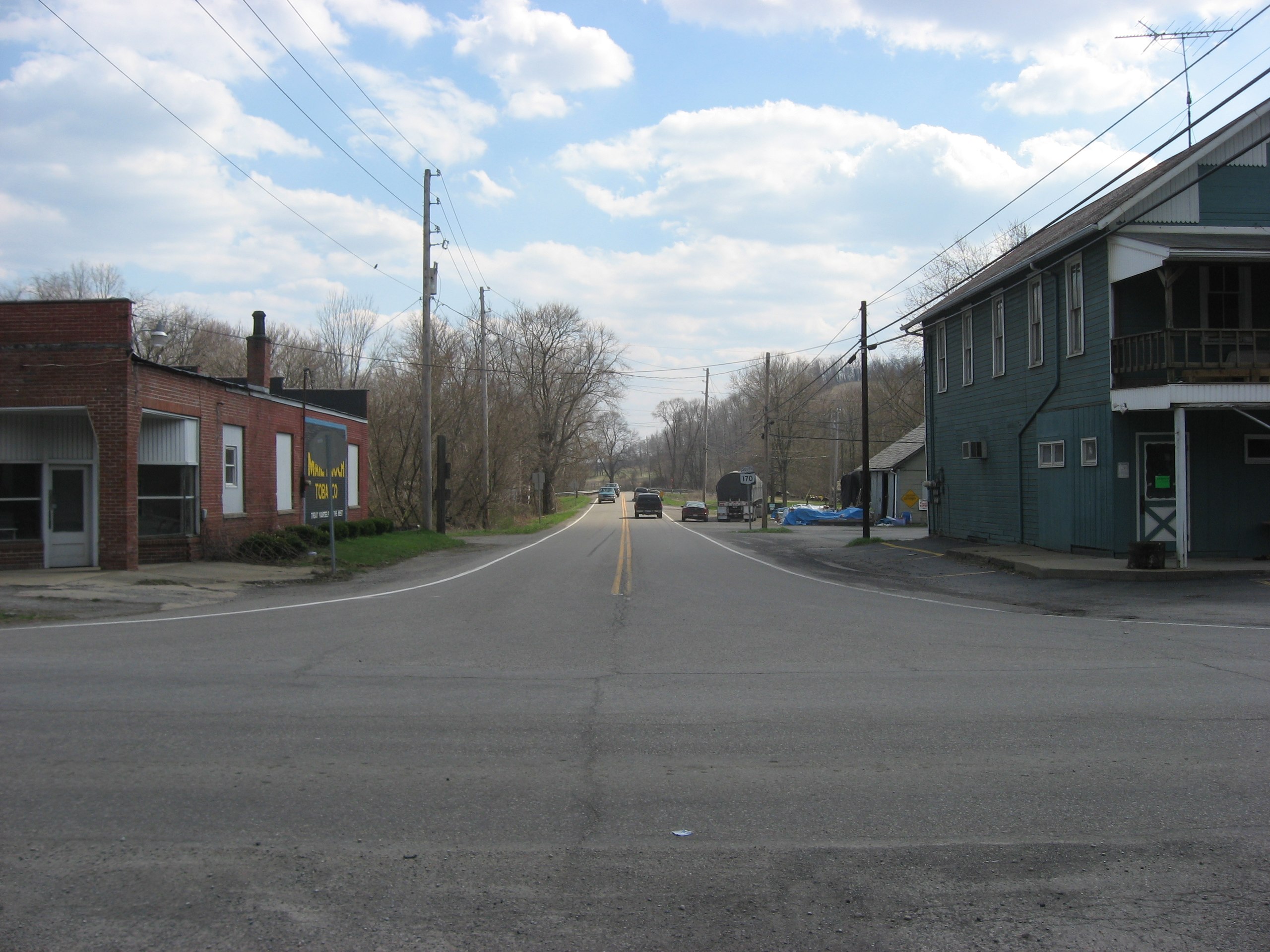
English: Southward along State Route 170 at its intersection with State Route 154 in central Negley, Ohio, United States. |
||
| Date | Taken on 9 April 2009 | ||
| Source | Own work | ||
| Author | Nyttend | ||
| Permission (Reusing this file) |
|
File history
Click on a date/time to view the file as it appeared at that time.
| Date/Time | Thumbnail | Dimensions | User | Comment | |
|---|---|---|---|---|---|
| current | 01:50, 25 September 2009 | | 2,816 × 2,112 (2.34 MB) | Nyttend | {{Location|40|47|22.56|N|80|32|42.288|W}} {{Information |Description={{en|Southward along {{w|Ohio State Route 570|State Route 570}} at its intersection with {{w|Ohio State Route 154|State Route 154}} in central {{w|Negley, Ohio|Negley}}, {{w|Ohio}}, {{w| |
File usage
The following pages on the English Wikipedia use this file (pages on other projects are not listed):
Global file usage
The following other wikis use this file:
- Usage on ceb.wikipedia.org
- Usage on sh.wikipedia.org
- Usage on sr.wikipedia.org
- Usage on www.wikidata.org