
File:St. Elizabeths West aerial 2015.jpg

Size of this preview: 800 × 534 pixels. Other resolutions: 320 × 214 pixels | 640 × 427 pixels | 1,024 × 683 pixels | 1,280 × 854 pixels | 2,560 × 1,709 pixels | 7,360 × 4,912 pixels.
Original file (7,360 × 4,912 pixels, file size: 1.51 MB, MIME type: image/jpeg)
| This is a file from the Wikimedia Commons. Information from its description page there is shown below. Commons is a freely licensed media file repository. You can help. |
Summary
| Description |
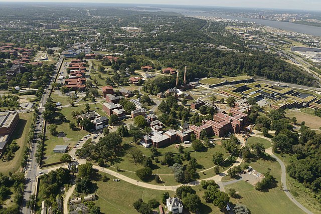
English: Aerial view of St. Elizabeths Hospital West Campus in 2015. |
| Date | |
| Source | https://www.achp.gov/success-stories/st-elizabeths |
| Author | U.S. Coast Guard (according to [1]) |
| Camera location | | View this and other nearby images on: OpenStreetMap |
|---|
Licensing
This image or file is a work of a United States Coast Guard service personnel or employee, taken or made as part of that person's official duties. As a work of the U.S. federal government, the image or file is in the public domain (17 U.S.C. § 101 and § 105, USCG main privacy policy and specific privacy policy for its imagery server).
|
 |
| Annotations | This image is annotated: View the annotations at Commons |
File history
Click on a date/time to view the file as it appeared at that time.
| Date/Time | Thumbnail | Dimensions | User | Comment | |
|---|---|---|---|---|---|
| current | 10:02, 16 November 2019 | | 7,360 × 4,912 (1.51 MB) | Antony-22 | User created page with UploadWizard |
File usage
The following pages on the English Wikipedia use this file (pages on other projects are not listed):