
File:Site of Hazelford - geograph.org.uk - 1030357.jpg
No higher resolution available.
Site_of_Hazelford_-_geograph.org.uk_-_1030357.jpg (640 × 480 pixels, file size: 79 KB, MIME type: image/jpeg)
| This is a file from the Wikimedia Commons. Information from its description page there is shown below. Commons is a freely licensed media file repository. You can help. |
Summary
| Description |
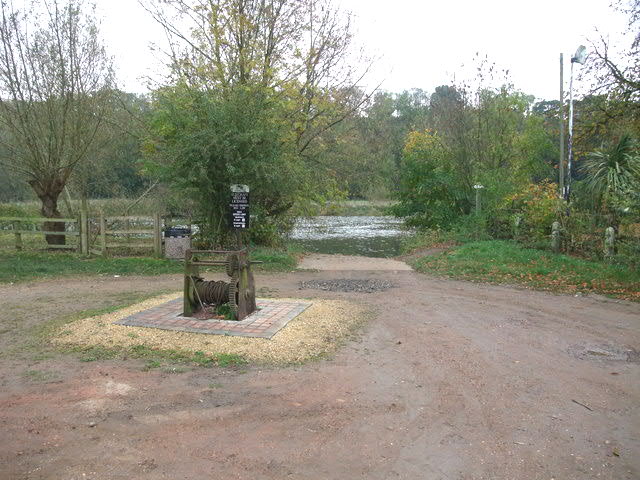
English: Site of Hazelford A crossing point of the Trent from prehistoric times. Initially as a ford - the Trent being shallower prior to dredging and the construction of weirs - and then by ferry up until the early 20th century. |
| Date | |
| Source | From geograph.org.uk |
| Author | Tim Heaton |
| Attribution (required by the license) | Tim Heaton / Site of Hazelford / |
| Camera location | | View this and other nearby images on: OpenStreetMap |
|---|
_heading:135.00&language=en)
| Object location | | View this and other nearby images on: OpenStreetMap |
|---|
_heading:135.00&language=en)
Licensing

|
This image was taken from the Geograph project collection. See this photograph's page on the Geograph website for the photographer's contact details. The copyright on this image is owned by Tim Heaton and is licensed for reuse under the Creative Commons Attribution-ShareAlike 2.0 license.
|
This file is licensed under the Creative Commons Attribution-Share Alike 2.0 Generic license.
Attribution: Tim Heaton
- You are free:
- to share – to copy, distribute and transmit the work
- to remix – to adapt the work
- Under the following conditions:
- attribution – You must give appropriate credit, provide a link to the license, and indicate if changes were made. You may do so in any reasonable manner, but not in any way that suggests the licensor endorses you or your use.
- share alike – If you remix, transform, or build upon the material, you must distribute your contributions under the same or compatible license as the original.

|
The categories of this image need checking. You can do so here.
|
File history
Click on a date/time to view the file as it appeared at that time.
| Date/Time | Thumbnail | Dimensions | User | Comment | |
|---|---|---|---|---|---|
| current | 20:50, 6 July 2014 | | 640 × 480 (79 KB) | Rocknrollmancer | Lightened |
| 18:58, 23 February 2011 |  | 640 × 480 (94 KB) | GeographBot | == {{int:filedesc}} == {{Information |description={{en|1=Site of Hazelford A crossing point of the Trent from prehistoric times. Initially as a ford - the Trent being shallower prior to dredging and the construction of weirs - and then by ferry up until t |
File usage
The following pages on the English Wikipedia use this file (pages on other projects are not listed):
Global file usage
The following other wikis use this file: