
File:Nicov, Prachatice District (2).jpg
Original file (4,272 × 2,848 pixels, file size: 4.54 MB, MIME type: image/jpeg)
| This is a file from the Wikimedia Commons. Information from its description page there is shown below. Commons is a freely licensed media file repository. You can help. |
|
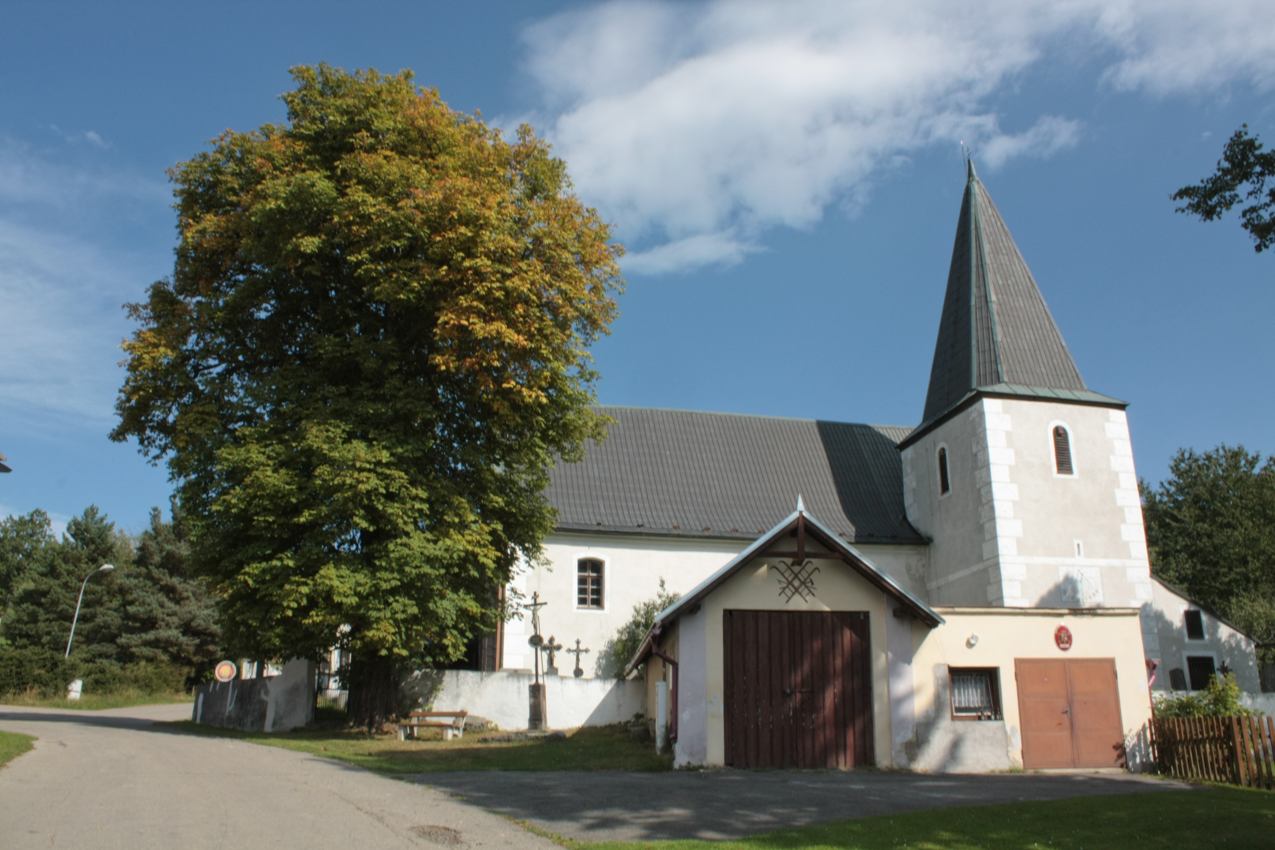
This is a photo of a cultural monument of the Czech Republic,
number: 23343/3-3711. |
Summary
| Description |
Čeština: Nicov, okres Prachatice
English: Nicov, Prachatice District, Czech Republic
|
||||
| Date | |||||
| Source |
Own work
|
||||
| Author |
|
||||
| Permission (Reusing this file) |
This file is licensed under the Creative Commons Attribution-Share Alike 3.0 Unported license.
|


.jpg)
.jpg¶ms=049.124722_N_0013.626111_E_globe:Earth_class:object_type:object_region:CZ_&language=en)
File history
Click on a date/time to view the file as it appeared at that time.
| Date/Time | Thumbnail | Dimensions | User | Comment | |
|---|---|---|---|---|---|
| current | 13:52, 1 October 2011 | | 4,272 × 2,848 (4.54 MB) | Mercy |
File usage
Global file usage
The following other wikis use this file:
- Usage on cs.wikipedia.org
- Usage on de.wikipedia.org
- Usage on fr.wikipedia.org
- Usage on nl.wikipedia.org
- Usage on www.wikidata.org
.jpg)