
File:Hiddensee Landsat.jpg
Size of this preview: 694 × 600 pixels. Other resolutions: 278 × 240 pixels | 555 × 480 pixels | 812 × 702 pixels.
Original file (812 × 702 pixels, file size: 36 KB, MIME type: image/jpeg)
| This is a file from the Wikimedia Commons. Information from its description page there is shown below. Commons is a freely licensed media file repository. You can help. |
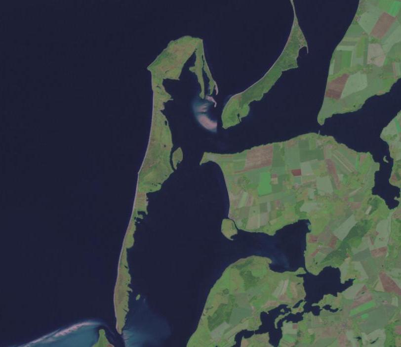
Landsat-picture of the German isle "Hiddensee".
| This image is in the public domain because it is a screenshot from NASA’s globe software World Wind using a public domain layer, such as Blue Marble, MODIS, Landsat, SRTM, USGS or GLOBE.
|
 |
File history
Click on a date/time to view the file as it appeared at that time.
| Date/Time | Thumbnail | Dimensions | User | Comment | |
|---|---|---|---|---|---|
| current | 17:36, 7 August 2015 | | 812 × 702 (36 KB) | Gretarsson | Cropped 21 % horizontally using CropTool with precise mode. |
| 23:51, 25 March 2005 |  | 1,024 × 702 (39 KB) | Hedavid | Landsat-picture of the German isle "Hiddensee". {{PD-USGov-NASA}} |
File usage
The following pages on the English Wikipedia use this file (pages on other projects are not listed):
Global file usage
The following other wikis use this file: