
File:Flagstaff census areas.jpg
Size of this preview: 648 × 600 pixels. Other resolutions: 259 × 240 pixels | 518 × 480 pixels | 830 × 768 pixels | 1,106 × 1,024 pixels.
Original file (1,106 × 1,024 pixels, file size: 48 KB, MIME type: image/jpeg)
| This is a file from the Wikimedia Commons. Information from its description page there is shown below. Commons is a freely licensed media file repository. You can help. |
Summary
| Description |
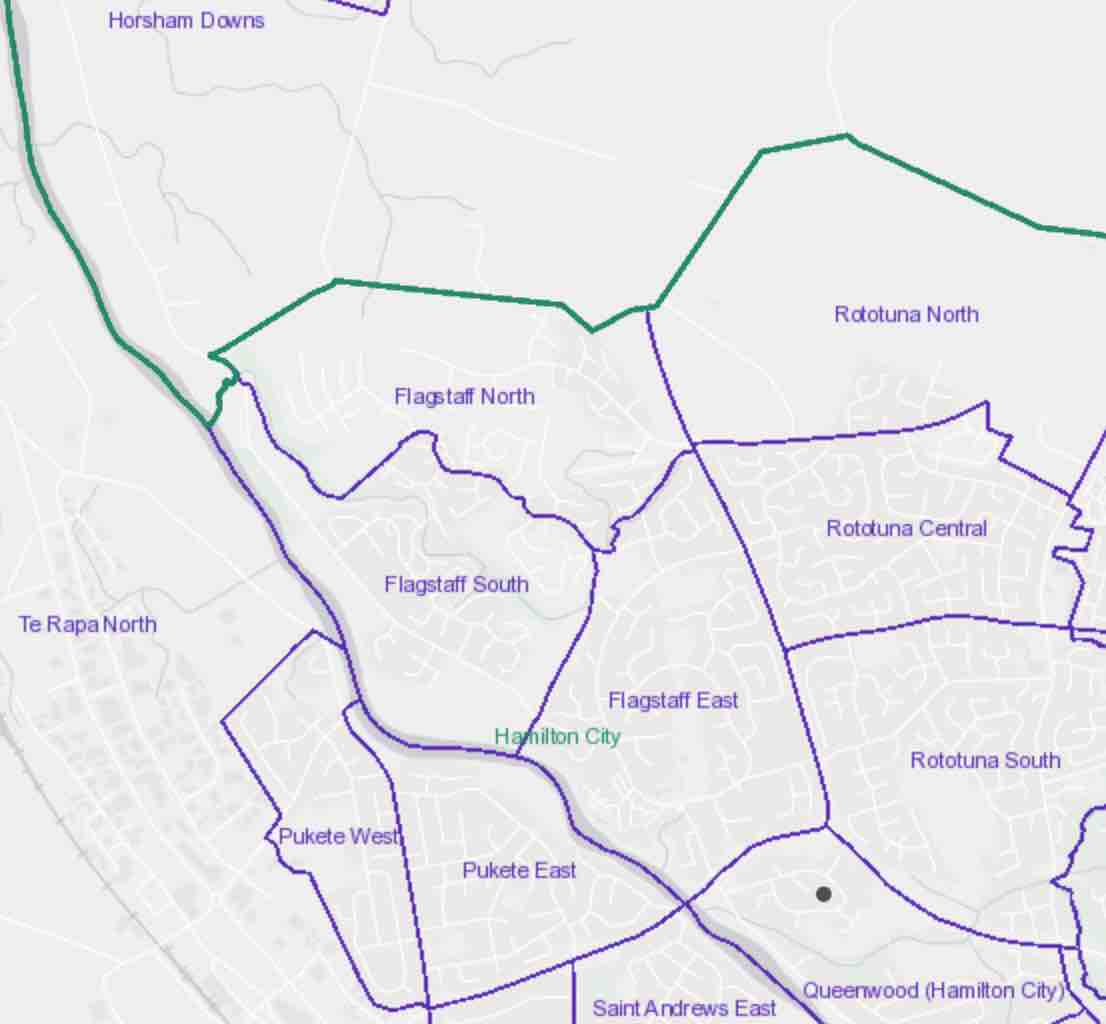
English: Flagstaff census areas |
| Date | |
| Source | http://statsnz.maps.arcgis.com/apps/webappviewer/index.html?id=6f49867abe464f86ac7526552fe19787 |
| Author | Stats NZ |
Licensing
This file is licensed under the Creative Commons Attribution 4.0 International license.
- You are free:
- to share – to copy, distribute and transmit the work
- to remix – to adapt the work
- Under the following conditions:
- attribution – You must give appropriate credit, provide a link to the license, and indicate if changes were made. You may do so in any reasonable manner, but not in any way that suggests the licensor endorses you or your use.
File history
Click on a date/time to view the file as it appeared at that time.
| Date/Time | Thumbnail | Dimensions | User | Comment | |
|---|---|---|---|---|---|
| current | 23:25, 12 March 2020 | | 1,106 × 1,024 (48 KB) | Johnragla | Uploaded a work by Stats NZ from http://statsnz.maps.arcgis.com/apps/webappviewer/index.html?id=6f49867abe464f86ac7526552fe19787 with UploadWizard |
File usage
The following pages on the English Wikipedia use this file (pages on other projects are not listed):