
File:El Pertús 2013 07 21 02 M6.jpg

Size of this preview: 800 × 538 pixels. Other resolutions: 320 × 215 pixels | 640 × 430 pixels | 1,024 × 688 pixels | 1,280 × 860 pixels | 3,030 × 2,036 pixels.
Original file (3,030 × 2,036 pixels, file size: 3.28 MB, MIME type: image/jpeg)
| This is a file from the Wikimedia Commons. Information from its description page there is shown below. Commons is a freely licensed media file repository. You can help. |
Summary
| Description |
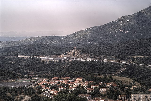
Français : Vue générale de la douane et de la pyramide depuis le fort de Bellegarde, Le Perthus (Pyrénées-Orientales, Languedoc-Roussillon, France), Els Límits, La Jonquière (Haut-Ampurdan, Gérone, Catalogne, Espagne
Català: Vista general de la duana i de la piràmide des del fort de Bellaguarde, El Pertús (Pirineus Orientals, Llenguadoc-Rosselló, França) Els Límits, La Jonquera (Alt Emportà, Girona, Catalunya, Espanya
Español: Vista general de la aduana i de la pirámide desde el fuerte de Bellegarde, Le Perthus (Pirineos Orientales, Languedoc-Rosellón, Francia) Los Límites, La Junquera (Alto Ampurdán, Gerona, Cataluña, España
This image was created with Qtpfsgui. Luminance HDR 2.3.0 tonemapping parameters:
Parameters:
|
| Date | |
| Source | Own work |
| Author |
Bertrand GRONDIN |
| Camera location | | View this and other nearby images on: OpenStreetMap |
|---|
| Object location | | View this and other nearby images on: OpenStreetMap |
|---|
Licensing
I, the copyright holder of this work, hereby publish it under the following licenses:

|
Permission is granted to copy, distribute and/or modify this document under the terms of the GNU Free Documentation License, Version 1.2 or any later version published by the Free Software Foundation; with no Invariant Sections, no Front-Cover Texts, and no Back-Cover Texts. A copy of the license is included in the section entitled GNU Free Documentation License. |
This file is licensed under the Creative Commons Attribution-Share Alike 3.0 Unported, 2.5 Generic, 2.0 Generic and 1.0 Generic license.
- You are free:
- to share – to copy, distribute and transmit the work
- to remix – to adapt the work
- Under the following conditions:
- attribution – You must give appropriate credit, provide a link to the license, and indicate if changes were made. You may do so in any reasonable manner, but not in any way that suggests the licensor endorses you or your use.
- share alike – If you remix, transform, or build upon the material, you must distribute your contributions under the same or compatible license as the original.
You may select the license of your choice.
File history
Click on a date/time to view the file as it appeared at that time.
| Date/Time | Thumbnail | Dimensions | User | Comment | |
|---|---|---|---|---|---|
| current | 18:39, 12 September 2013 | | 3,030 × 2,036 (3.28 MB) | Grondin | diversos retocs |
| 18:34, 12 September 2013 |  | 3,030 × 2,036 (3.28 MB) | Grondin | {{Information |Description ={{fr|1=Vue générale de la douane et de la pyramide depuis le fort de Bellegarde, Le Perthus (Pyrénées-Orientales, Languedoc-Roussillon, France), Els Límits, La Jonquière (Haut-Ampurdan, Gérone, Catalogne, Espagne}}... |
File usage
The following pages on the English Wikipedia use this file (pages on other projects are not listed):