
File:Davis Station, Tan Son Nhut.jpg

Size of this preview: 755 × 600 pixels. Other resolutions: 302 × 240 pixels | 605 × 480 pixels | 967 × 768 pixels | 1,280 × 1,017 pixels | 2,560 × 2,033 pixels | 3,012 × 2,392 pixels.
Original file (3,012 × 2,392 pixels, file size: 986 KB, MIME type: image/jpeg)
| This is a file from the Wikimedia Commons. Information from its description page there is shown below. Commons is a freely licensed media file repository. You can help. |
Summary
| Description |
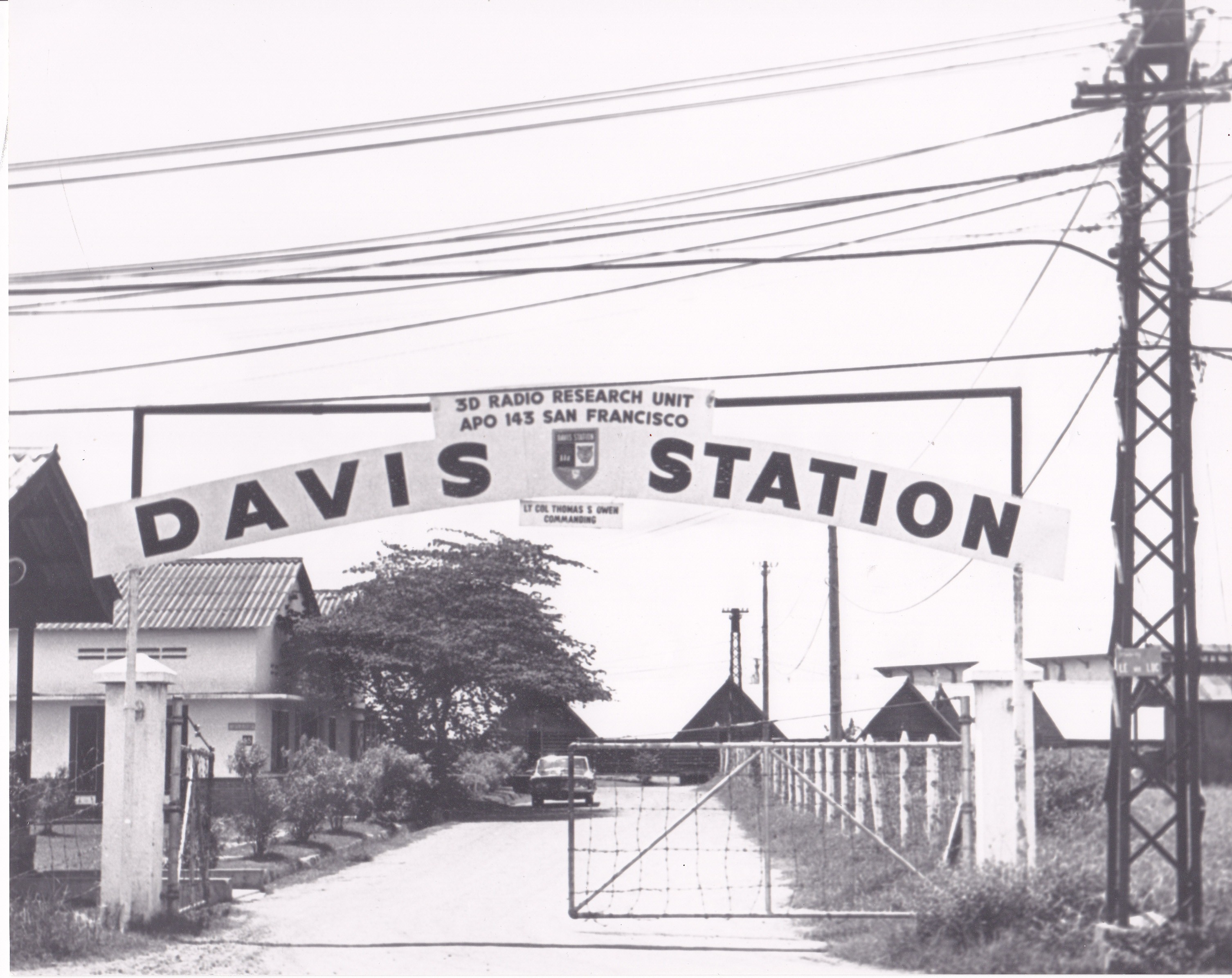
English: Davis Station, Tan Son Nhut
|
||||
| Date | 1960s | ||||
| Source | https://api.army.mil/e2/c/images/2014/05/09/344310/original.jpg | ||||
| Author | U.S. Army |
Licensing
This file is a work of a U.S. Army soldier or employee, taken or made as part of that person's official duties. As a work of the U.S. federal government, it is in the public domain in the United States.
|
 |
File history
Click on a date/time to view the file as it appeared at that time.
| Date/Time | Thumbnail | Dimensions | User | Comment | |
|---|---|---|---|---|---|
| current | 04:44, 20 August 2023 | | 3,012 × 2,392 (986 KB) | Đại Việt quốc | Uploaded a work by U.S. Army from https://api.army.mil/e2/c/images/2014/05/09/344310/original.jpg with UploadWizard |
File usage
The following pages on the English Wikipedia use this file (pages on other projects are not listed):
Global file usage
The following other wikis use this file:
- Usage on vi.wikipedia.org
- Usage on www.wikidata.org