
File:Champ de blé Côte-d'Or Bourgogne avril 2014.jpg
Size of this preview: 800 × 450 pixels. Other resolutions: 320 × 180 pixels | 640 × 360 pixels | 1,024 × 576 pixels | 1,280 × 720 pixels | 2,560 × 1,440 pixels | 4,288 × 2,412 pixels.
Original file (4,288 × 2,412 pixels, file size: 7.88 MB, MIME type: image/jpeg)
| This is a file from the Wikimedia Commons. Information from its description page there is shown below. Commons is a freely licensed media file repository. You can help. |
Summary
| Description |
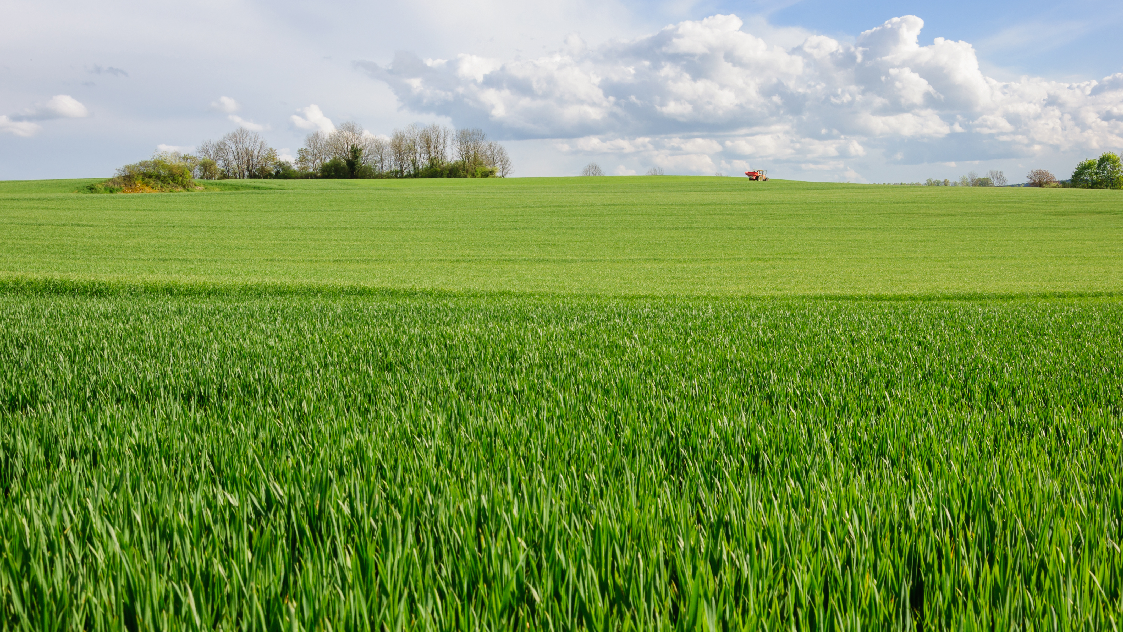
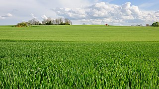
Français : Champ de blé près d'Alise-Sainte-Reine, en Côte-d'Or (Bourgogne, France)
English: Wheat field near Alise-Sainte-Reine, Côte-d'Or department, Burgundy, France. |
| Date | |
| Source | Own work |
| Author | Myrabella |
| Attribution (required by the license) | Photo: Myrabella / Wikimedia Commons / |
| Object location | | View this and other nearby images on: OpenStreetMap |
|---|
This image has been assessed using the Quality image guidelines and is considered a Quality image.
|
Licensing
I, the copyright holder of this work, hereby publish it under the following license:
This file is licensed under the Creative Commons Attribution-Share Alike 4.0 International license.
- You are free:
- to share – to copy, distribute and transmit the work
- to remix – to adapt the work
- Under the following conditions:
- attribution – You must give appropriate credit, provide a link to the license, and indicate if changes were made. You may do so in any reasonable manner, but not in any way that suggests the licensor endorses you or your use.
- share alike – If you remix, transform, or build upon the material, you must distribute your contributions under the same or compatible license as the original.
File history
Click on a date/time to view the file as it appeared at that time.
| Date/Time | Thumbnail | Dimensions | User | Comment | |
|---|---|---|---|---|---|
| current | 23:08, 4 July 2014 | | 4,288 × 2,412 (7.88 MB) | Myrabella | == {{int:filedesc}} == {{Information |description= {{fr|1=Champ de blé près d'Alise-Sainte-Reine, en Côte-d'Or (Bourgogne, France)}} {{en|1=Wheat field near Alise-Sainte-Reine, Côte-d'Or department, Burgundy, France.}} |date=2014-04-22 |source={{ow... |
File usage
The following pages on the English Wikipedia use this file (pages on other projects are not listed):
Global file usage
The following other wikis use this file:
- Usage on bn.wikipedia.org
- Usage on bs.wikipedia.org
- Usage on dty.wikipedia.org
- Usage on fa.wikipedia.org
- Usage on fr.wikipedia.org
- Usage on fy.wikipedia.org
- Usage on hy.wikipedia.org
- Usage on incubator.wikimedia.org
- Usage on it.wikipedia.org
- Usage on ku.wikipedia.org
- Usage on ms.wiktionary.org
- Usage on my.wikipedia.org
- Usage on ro.wikipedia.org
- Usage on sr.wikipedia.org
- Usage on sv.wikipedia.org
- Usage on tr.wikipedia.org
- Usage on ts.wikipedia.org
- Usage on ur.wikipedia.org
- Usage on www.wikidata.org