
File:C83165s1 Ant.Map Mount Rabot.jpg
Size of this preview: 711 × 599 pixels. Other resolutions: 285 × 240 pixels | 569 × 480 pixels | 911 × 768 pixels | 1,215 × 1,024 pixels | 2,429 × 2,048 pixels | 3,845 × 3,242 pixels.
Original file (3,845 × 3,242 pixels, file size: 1.82 MB, MIME type: image/jpeg)
| This is a file from the Wikimedia Commons. Information from its description page there is shown below. Commons is a freely licensed media file repository. You can help. |
| Description |
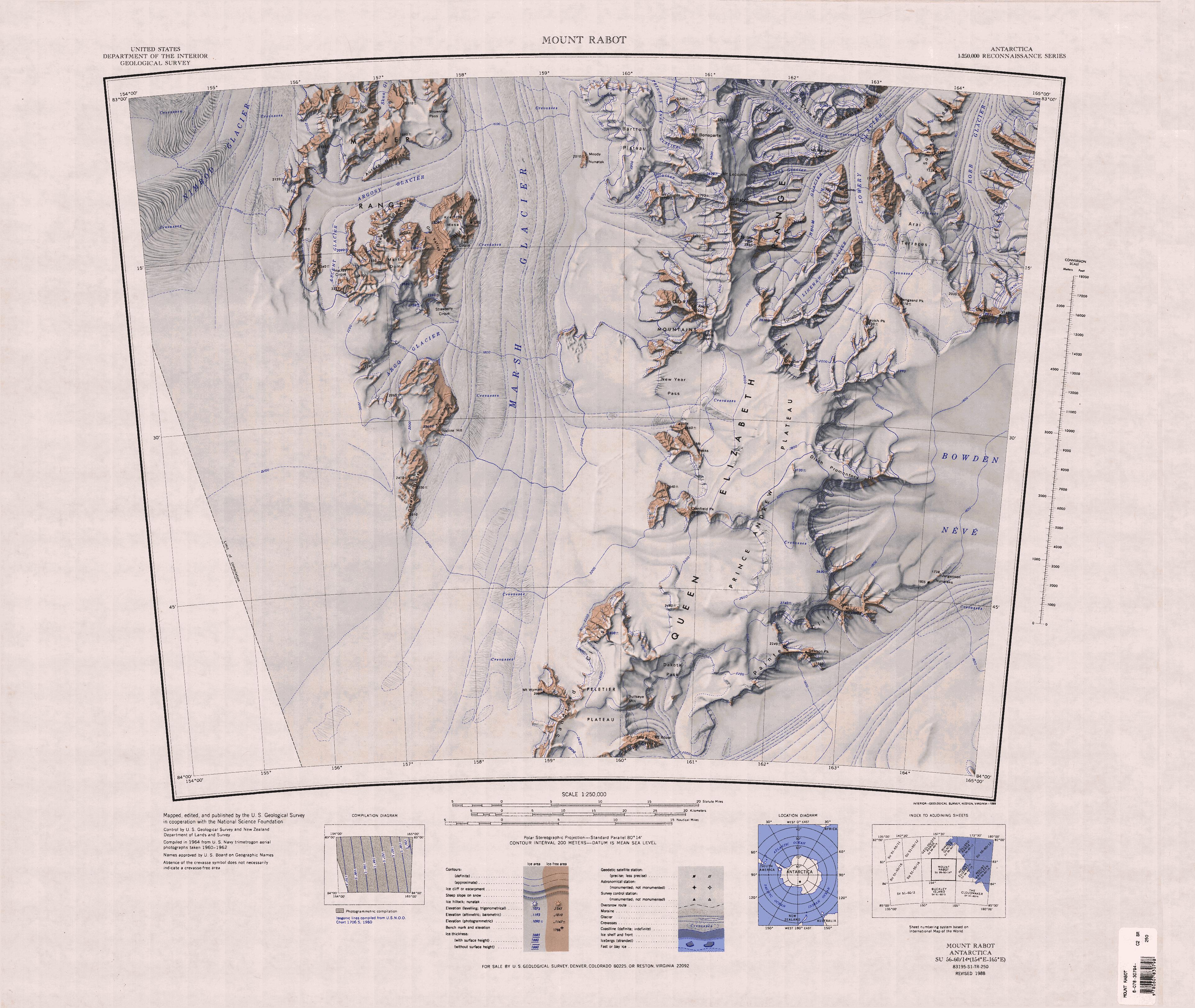
English: Map of Antarctica by the United States Antarctic Resource Center of the US Geological Society. |
| Source | USGS |
| Author | USGS |
This image is in the public domain in the United States because it only contains materials that originally came from the United States Geological Survey, an agency of the United States Department of the Interior. For more information, see the official USGS copyright policy.
|
File history
Click on a date/time to view the file as it appeared at that time.
| Date/Time | Thumbnail | Dimensions | User | Comment | |
|---|---|---|---|---|---|
| current | 12:58, 4 April 2005 | | 3,845 × 3,242 (1.82 MB) | Achim Raschka | Map of Antarctica by the United States Antarctic Ressource Center of the US Geological Society. {{PD-US}} Copyrights and Trademarks USGS-authored or produced data and information are in the public domain. While the content of most USGS web pages is in th |
File usage
The following pages on the English Wikipedia use this file (pages on other projects are not listed):
Global file usage
The following other wikis use this file:
- Usage on bg.wikipedia.org
- Usage on ceb.wikipedia.org
- Usage on de.wikipedia.org
- Queen Elizabeth Range
- Robb-Gletscher
- Bowden-Firnfeld
- Marsh-Gletscher
- Miller Range
- Peletier-Plateau
- New Year Pass
- Argo-Gletscher
- Macdonald Bluffs
- Argosy-Gletscher
- Kreiling Mesa
- Ascent-Gletscher
- Milan Ridge
- Orr Peak
- Aurora Heights
- Bartrum-Plateau
- Dike Cirque
- Greene Ridge
- Martin Dome
- Hockey Cirque
- Lookout Dome
- Moody-Nunatak
- Ong Valley
- Snowshoe Pass
- Ross-Orogen
- Nimrod-Orogenese
- Geologie Ostantarktikas
- Usage on he.wikipedia.org
- Usage on it.wikipedia.org
- Ghiacciaio Nimrod
- Ghiacciaio della Principessa Anna
- Ghiacciaio Marsh
- Ghiacciaio Argo
- Ghiacciaio Argosy
- Ghiacciaio Ascent
- Ghiacciaio Rabot
- Ghiacciaio Lowery
- Ghiacciaio Cornovaglia
- Ghiacciaio Robb
- Ghiacciaio Krank
- Ghiacciaio Helm
- Ghiacciaio Linehan
- Montagne della Regina Elisabetta
- Altopiano del Principe Andrea
- Montagne di Miller
- Usage on nn.wikipedia.org
- Usage on www.wikidata.org
View more global usage of this file.