
File:790Tidal flooding in Meysulao, Calumpit 37.jpg

Original file (4,608 × 3,456 pixels, file size: 6.36 MB, MIME type: image/jpeg)
| This is a file from the Wikimedia Commons. Information from its description page there is shown below. Commons is a freely licensed media file repository. You can help. |
Summary
| Description |
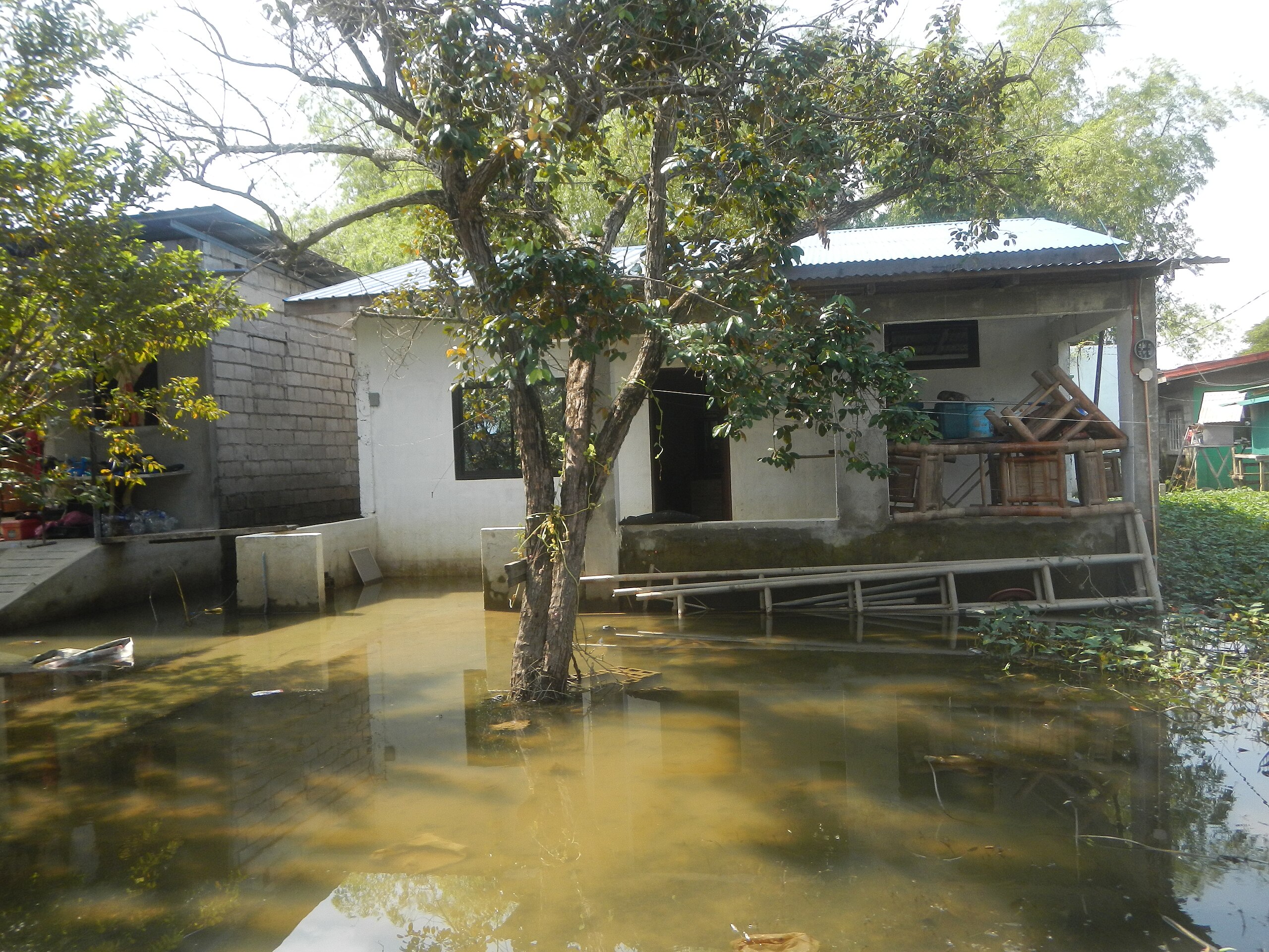
English: Tidal flooding in Meysulao, Calumpit |
| Date | |
| Source | Own work |
| Author | Judgefloro |
| Camera location | | View this and other nearby images on: OpenStreetMap |
|---|
Tidal flooding in Calumpit, Bulacan Tidal flooding in Meysulao, Calumpit, Bulacan Puroks I-V, sitio Daque and villages of Category:Sitios and puroks of the Philippines Subdivisions of the Philippines Barangay Meysulao 14°54'35"N 120°44'50"E Calumpit, Bulacan Bulacan province during Timeline of the 2020 coronavirus pandemic in the Philippines 2020 coronavirus pandemic in the Philippines Bayanihan to Heal as One Act (RA 11469) Bayanihan Act of 2020. Signed on March 24, 2020 archive copy at the Wayback Machine Bayanihan to Recover as One Act Template:COVID-19 pandemic in the Philippines September 1 Coronavirus Cases: 224,264 Deaths: 3,597 Recovered: 158,012; October 24 - November 6: 388,137 Deaths: 7,367 Recovered: 349,091; Philippines Coronavirus Cases: 391,809 Deaths: 7,461 Recovered: 349,974 taken under weather conditions of Signal no. 2 still up in Batanes - Siony Tropical Storm Atsani (Siony) Category:Tropical Storm Atsani (2020) updates Category:Typhoon Goni (2020) (Note: Judge Florentino Floro, the owner, to repeat, Donor FlorentinoFloro of all these photos hereby donate gratuitously, freely and unconditionally Judge Floro all these photos to and for Wikimedia Commons, exclusively, for public use of the public domain, and again without any condition whatsoever).
Licensing
| This file is made available under the Creative Commons CC0 1.0 Universal Public Domain Dedication. | |
| The person who associated a work with this deed has dedicated the work to the public domain by waiving all of their rights to the work worldwide under copyright law, including all related and neighboring rights, to the extent allowed by law. You can copy, modify, distribute and perform the work, even for commercial purposes, all without asking permission.
|
File history
Click on a date/time to view the file as it appeared at that time.
| Date/Time | Thumbnail | Dimensions | User | Comment | |
|---|---|---|---|---|---|
| current | 10:55, 6 November 2020 | | 4,608 × 3,456 (6.36 MB) | Judgefloro | Uploaded own work with UploadWizard |