
File:5 digit ZCTAs in Virginia.svg

Size of this PNG preview of this SVG file: 800 × 347 pixels. Other resolutions: 320 × 139 pixels | 640 × 278 pixels | 1,024 × 444 pixels | 1,280 × 555 pixels | 2,560 × 1,110 pixels | 7,486 × 3,247 pixels.
Original file (SVG file, nominally 7,486 × 3,247 pixels, file size: 753 KB)
| This is a file from the Wikimedia Commons. Information from its description page there is shown below. Commons is a freely licensed media file repository. You can help. |
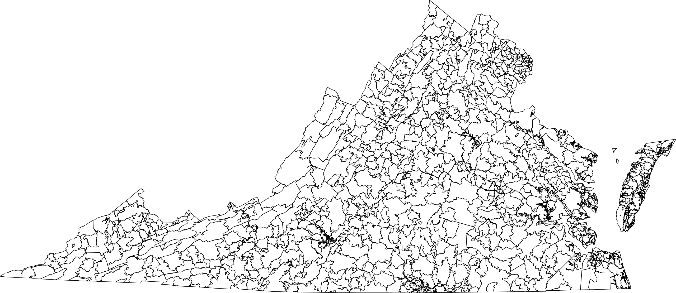
A map of the 5 digit ZIP Code Tabulation Areas in Virginia. David Benbennick made this map. The map uses the Census 2000 5-Digit ZIP Code Tabulation Areas, specifically zt51_d00_shp.zip. The map uses azimuthal equidistant projection, centered on (-78.68, 37.53). The map is in hectometers (tenths of a kilometer).
| I, the copyright holder of this work, release this work into the public domain. This applies worldwide. In some countries this may not be legally possible; if so: I grant anyone the right to use this work for any purpose, without any conditions, unless such conditions are required by law. |
File history
Click on a date/time to view the file as it appeared at that time.
| Date/Time | Thumbnail | Dimensions | User | Comment | |
|---|---|---|---|---|---|
| current | 01:17, 3 January 2006 | | 7,486 × 3,247 (753 KB) | Dbenbenn | by me, PD |
File usage
The following pages on the English Wikipedia use this file (pages on other projects are not listed):